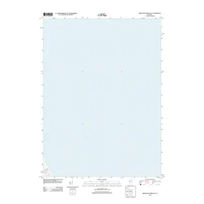
2012 Map of Highland Park OE E
USGS Topo · Published 2012About this map
Lake Michigan dominates this quadrangle, covering nearly the entire map and illustrating the vast aquatic boundary of Illinois in the early twenty-first century. Along the southwestern shoreline, a small portion of the residential grid in Cook County appears, showing the coastal layout of New Trier Township. The local street network includes Dell Pl, S Ave, and Palos Rd, which trace the edge of the residential expansion toward the lake. This survey represents a specific moment in the shoreline’s history, documenting the intersection of modern suburban development with the unchanging expanse of the Great Lakes.
Find a feature on this map
4 named features on this map. Tap any name to fly to it.
Don’t see what you’re looking for? This feature index may not catch every label — zoom into the map to look around manually.
Map Details
Editions of this 2012 Highland Park OE E Map
This is the sole edition of this map. No revisions or reprints were ever made.
Other maps of this area

1899 · Evanston
USGS Topo · 1:62,500

1900 · Highwood
USGS Topo · 1:62,500

1906 · Waukegan
USGS Topo · 1:62,500

1908 · Waukegan
USGS Topo · 1:62,500

1928 · Highland Park
USGS Topo · 1:24,000

1928 · Evanston
USGS Topo · 1:24,000

1929 · Park Ridge
USGS Topo · 1:24,000

1951 · Highland Park
USGS Topo · 1:24,000
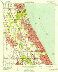
1953 · Highland Park
USGS Topo · 1:24,000
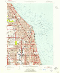
1953 · Evanston
USGS Topo · 1:24,000