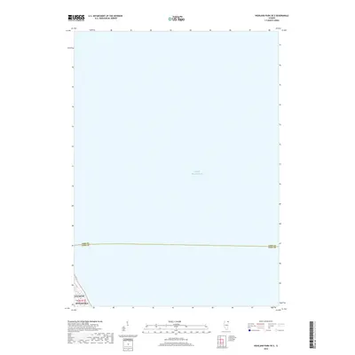
2018 Map of Highland Park OE E
USGS Topo · Published 2018About this map
Lake Michigan dominates this survey, with the land area confined to the extreme southwest corner of the sheet. The map documents the nearshore waters off the North Shore, where the municipal boundaries of Winnetka and Glencoe meet at the water's edge. This specialized 2018 edition reveals the maritime expanse that defines the eastern border of these communities, extending across the jurisdictional line of Lake Co Cook Co. While largely a study of the open lake, the corner showing Winnetka captures the terminus of the town's grid at the lakefront bluffs within t42n r13e.
Find a feature on this map
5 named features on this map. Tap any name to fly to it.
Don’t see what you’re looking for? This feature index may not catch every label — zoom into the map to look around manually.
Map Details
Editions of this 2018 Highland Park OE E Map
This is the sole edition of this map. No revisions or reprints were ever made.
Other maps of this area

1899 · Evanston
USGS Topo · 1:62,500

1900 · Highwood
USGS Topo · 1:62,500

1906 · Waukegan
USGS Topo · 1:62,500

1908 · Waukegan
USGS Topo · 1:62,500

1928 · Highland Park
USGS Topo · 1:24,000

1928 · Evanston
USGS Topo · 1:24,000

1929 · Park Ridge
USGS Topo · 1:24,000

1951 · Highland Park
USGS Topo · 1:24,000
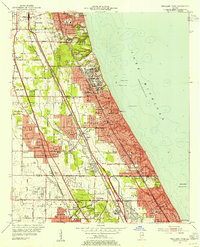
1953 · Highland Park
USGS Topo · 1:24,000
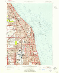
1953 · Evanston
USGS Topo · 1:24,000