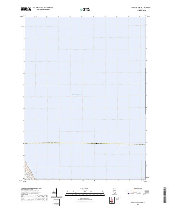
2024 Map of Highland Park OE E
USGS Topo · Published 2024About this map
Lake Michigan dominates this quadrangle, providing a high-resolution look at the nearshore waters off the Illinois coast. The map captures the very edge of the suburban North Shore, focusing on a specific coastal section of Glencoe. This 2024 data includes the residential street layout near the bluff, including Harbor St, illustrating the interface between the lake and the settled community. While primarily a hydrographic representation of the lake's surface, the small terrestrial portion shows the topographic transition from the high bluffs of the North Shore down to the water's edge, a characteristic geographical feature of this region.
Find a feature on this map
3 named features on this map. Tap any name to fly to it.
Don’t see what you’re looking for? This feature index may not catch every label — zoom into the map to look around manually.
Map Details
Editions of this 2024 Highland Park OE E Map
This is the sole edition of this map. No revisions or reprints were ever made.
Other maps of this area

1899 · Evanston
USGS Topo · 1:62,500

1900 · Highwood
USGS Topo · 1:62,500

1906 · Waukegan
USGS Topo · 1:62,500

1908 · Waukegan
USGS Topo · 1:62,500

1928 · Highland Park
USGS Topo · 1:24,000

1928 · Evanston
USGS Topo · 1:24,000

1929 · Park Ridge
USGS Topo · 1:24,000

1951 · Highland Park
USGS Topo · 1:24,000
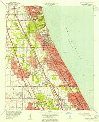
1953 · Highland Park
USGS Topo · 1:24,000
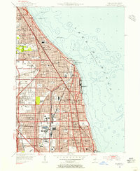
1953 · Evanston
USGS Topo · 1:24,000