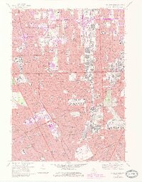
1968 Map of Highland Park
USGS Topo · Published 1984About this map
The dense industrial and residential corridors of Detroit, Highland Park, and Hamtramck dominate this late-sixties topographical study. The landscape is defined by its transit-oriented geometry, anchored by the Edsel Ford Freeway and Chrysler Freeway, which carve through the urban fabric alongside established rail lines like the Grand Trunk Western and Conrail. In Hamtramck, the concentrated presence of parochial institutions such as St Florian High Sch and St Ladislaus High Sch reflects the distinct cultural and religious clusters that shaped these neighborhoods.
Find a feature on this map
176 named features on this map. Tap any name to fly to it.
Don’t see what you’re looking for? This feature index may not catch every label — zoom into the map to look around manually.
Map Details
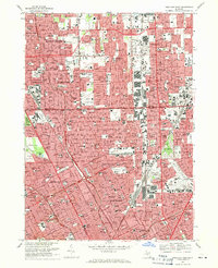
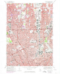
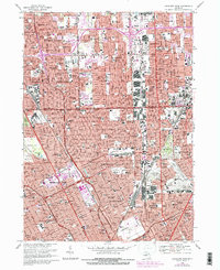
Editions of this 1968 Highland Park Map
4 editions found
Other maps of this area

1905 · Detroit
USGS Topo · 1:62,500

1905 · Grosse Pointe
USGS Topo · 1:62,500

1908 · Rochester
USGS Topo · 1:62,500

1912 · Mt Clemens
USGS Topo · 1:62,500

1918 · Detroit
USGS Topo · 1:62,500

1918 · Grosse Pointe
USGS Topo · 1:62,500

1924 · Detroit
USGS Topo · 1:62,500

1929 · Mt Clemens
USGS Topo · 1:62,500

1934 · Detroit
USGS Topo · 1:62,500

1936 · Warren
USGS Topo · 1:31,680