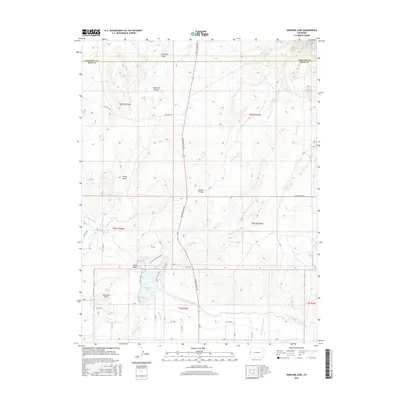
2016 Map of Highline Lake
USGS Topo · Published 2016About this map
Highline Lake and the engineered waters of the Government Highline Canal dominate the southern portion of this Mesa County landscape. The area represents a complex transition between irrigated agricultural lowlands and the high desert terrain of the Garfield Mesa to the north. A dense network of rural roads, including Douglas Pass Rd and Mitchell Rd, provides access to the scattered homesteads of Grand Valley and the recreational infrastructure surrounding Mack Mesa Lake.
Find a feature on this map
47 named features on this map. Tap any name to fly to it.
Don’t see what you’re looking for? This feature index may not catch every label — zoom into the map to look around manually.
Map Details
Editions of this 2016 Highline Lake Map
This is the sole edition of this map. No revisions or reprints were ever made.
Other maps of this area

1956 · Grand Junction
USGS Topo · 1:250,000

1959 · Grand Junction
USGS Topo · 1:250,000

1960 · Grand Junction
USGS Topo · 1:250,000
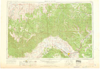
1962 · Grand Junction
USGS Topo · 1:250,000
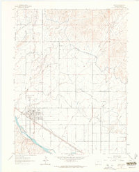
1962 · Fruita
USGS Topo · 1:24,000
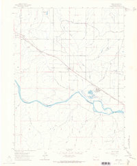
1962 · Mack
USGS Topo · 1:24,000
1964 · Grand Junction
USGS Topo · 1:250,000
1965 · Grand Junction
USGS Topo · 1:250,000
1968 · Badger Wash
USGS Topo · 1:24,000
1968 · Carbonera
USGS Topo · 1:24,000