
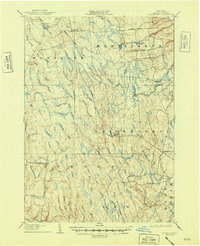
1906 Map of Highmarket
USGS Topo · Published 1906About this map
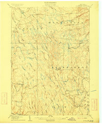
The timber and waterway network of the Tug Hill Plateau dominates this 1906 survey, where the Glenfield and Western RR cuts through the forest to reach the hamlet of Page. Small settlements like Michigan Mills and Highmarket serve as remote outposts in a landscape defined by an intricate drainage system including the East Branch Salmon River, Mad River, and Fish Creek. The map documents a specific era of Adirondack-adjacent industry where logging railroads and water-powered mills were the primary drivers of growth.
Find a feature on this map
64 named features on this map. Tap any name to fly to it.
Don’t see what you’re looking for? This feature index may not catch every label — zoom into the map to look around manually.
Map Details
Editions of this 1906 Highmarket Map
6 editions found
Other maps of this area

1895 · Watertown
USGS Topo · 1:62,500

1898 · Watertown
USGS Topo · 1:62,500

1902 · Carthage
USGS Topo · 1:62,500

1903 · Orwell
USGS Topo · 1:62,500

1904 · Boonville
USGS Topo · 1:62,500

1904 · Carthage
USGS Topo · 1:62,500

1905 · Orwell
USGS Topo · 1:62,500

1905 · Port Leyden
USGS Topo · 1:62,500

1905 · Taberg
USGS Topo · 1:62,500

1906 · Kasoag
USGS Topo · 1:62,500