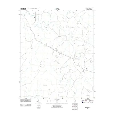
2011 Map of Hightower
USGS Topo · Published 2011About this map
The Tallapoosa River winds through the northern portion of this Cleburne County landscape, where the rural settlements of Lecta and Bell Mills anchor a network of county roads. The terrain is defined by the prominent ridge of Turkey Heaven Mountain, which reaches a peak at the Turkey Heaven Mountain Lookout Tower. This high point offers a strategic view over the surrounding drainage basins of Verdin Creek and Silas Creek. Local history is preserved in several dispersed burial sites, including the Fordham Cemetery, Wise Chapel Cemetery, and Crumbleys Chapel Cemetery, which serve as markers for the generational families of this agricultural region. Near the communities of Trickem and Union Hill, the map reveals a settlement pattern tied to the topography of Bee Hill and Johns Mountain, illustrating the enduring footprint of rural Alabama life at the start of the 21st century.
Find a feature on this map
90 named features on this map. Tap any name to fly to it.
Don’t see what you’re looking for? This feature index may not catch every label — zoom into the map to look around manually.
Map Details
Editions of this 2011 Hightower Map
This is the sole edition of this map. No revisions or reprints were ever made.
Other maps of this area

1889 · Tallapoosa
USGS Topo · 1:125,000

1891 · Ashland
USGS Topo · 1:125,000

1892 · Tallapoosa
USGS Topo · 1:125,000

1897 · Tallapoosa
USGS Topo · 1:125,000

1899 · Wedowee
USGS Topo · 1:125,000

1900 · Anniston
USGS Topo · 1:125,000

1902 · Wedowee
USGS Topo · 1:125,000

1953 · Atlanta
USGS Topo · 1:250,000

1957 · Atlanta
USGS Topo · 1:250,000

1958 · Atlanta
USGS Topo · 1:250,000