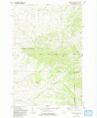
1979 Map of Highwood Baldy
USGS Topo · Published 1983About this map
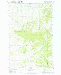
The Highwood Mountains dominate this central Montana landscape, where the high ridges of the Lewis and Clark National Forest meet the drainage basins of Chouteau, Cascade, and Judith Basin counties. The 1970s terrain is characterized by a network of steep coulees, including Big Coulee and Grouse Coulee, which channel water toward the larger creek valleys. Community life is anchored by the Highwood Creek Community Hall in the north and small rural educational sites like Mountain View Sch and Little Belt Sch in the southern reaches.
Find a feature on this map
35 named features on this map. Tap any name to fly to it.
Don’t see what you’re looking for? This feature index may not catch every label — zoom into the map to look around manually.
Map Details
Editions of this 1979 Highwood Baldy Map
2 editions found
Other maps of this area

1890 · Fort Benton
USGS Topo · 1:250,000

1892 · Fort Benton
USGS Topo · 1:250,000

1897 · Fort Benton
USGS Topo · 1:250,000

1954 · Great Falls
USGS Topo · 1:250,000

1956 · Highwood
USGS Topo · 1:62,500

1956 · Belt
USGS Topo · 1:62,500

1957 · Great Falls
USGS Topo · 1:250,000
1975 · Belt SE
USGS Topo · 1:24,000
1975 · Belt NE
USGS Topo · 1:24,000

1978 · Arrow Peak
USGS Topo · 1:24,000