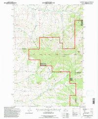
1995 Map of Highwood Baldy
USGS Topo · Published 1997About this map
Highwood Baldy and Pinewood Peak anchor this mid-1990s survey of the central Highwood Mountains, where the intersection of Chouteau, Cascade, and Judith Basin counties meets. The landscape is defined by a dense network of coulees and creek drainages, including Big Willow Creek and Middle Willow Creek, that feed into the larger Highwood Creek system. Public and community life is concentrated along the lower elevations and creek valleys, evidenced by the Highwood Creek Community Hall and the Big Willow Cemetery.
Find a feature on this map
34 named features on this map. Tap any name to fly to it.
Don’t see what you’re looking for? This feature index may not catch every label — zoom into the map to look around manually.
Map Details
Editions of this 1995 Highwood Baldy Map
2 editions found
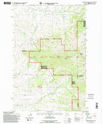
Other maps of this area

1890 · Fort Benton
USGS Topo · 1:250,000

1892 · Fort Benton
USGS Topo · 1:250,000

1897 · Fort Benton
USGS Topo · 1:250,000

1954 · Great Falls
USGS Topo · 1:250,000

1956 · Highwood
USGS Topo · 1:62,500

1956 · Belt
USGS Topo · 1:62,500

1957 · Great Falls
USGS Topo · 1:250,000
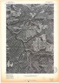
1975 · Belt SE
USGS Topo · 1:24,000
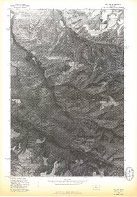
1975 · Belt NE
USGS Topo · 1:24,000

1978 · Arrow Peak
USGS Topo · 1:24,000