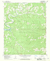
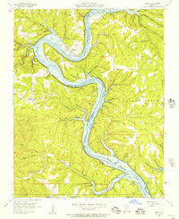
1967 Map of Hilda
USGS Topo · Published 1969About this map
The rugged hill country of Taney County is defined here by the winding fingers of Bull Shoals Lake and the dense forest cover of the Mark Twain National Forest. At the center of the local community is Hilda, where the landscape is marked by the Hilda Lookout Tower and the nearby Chapel of the Ozarks. The topography is dominated by prominent ridges and balds, such as Blair Ridge, Johnson Bald, and Coy Bald, which once served as clearings in the hardwood forests.
Find a feature on this map
47 named features on this map. Tap any name to fly to it.
Don’t see what you’re looking for? This feature index may not catch every label — zoom into the map to look around manually.
Map Details
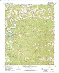
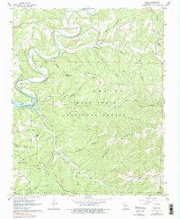
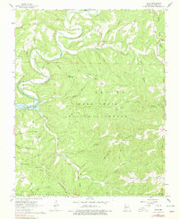
Editions of this 1967 Hilda Map
4 editions found
Other maps of this area

1907 · Forsyth
USGS Topo · 1:125,000

1937 · Bradleyville
USGS Topo · 1:48,000

1943 · Protem
USGS Topo · 1:62,500

1943 · Bradleyville
USGS Topo · 1:62,500

1945 · Harrison
USGS Topo · 1:250,000

1945 · Bradleyville
USGS Topo · 1:62,500

1949 · Harrison
USGS Topo · 1:250,000

1954 · Harrison
USGS Topo · 1:250,000

1955 · Garrison
USGS Topo · 1:24,000
1956 · Mincy
USGS Topo · 1:24,000