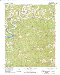
1967 Map of Hilda
USGS Topo · Published 1970About this map
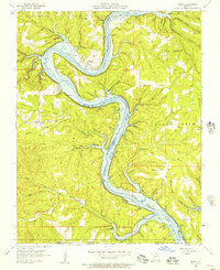
Mark Twain National Forest dominates this mid-century survey of Taney County, where the topography is defined by high ridges like Blair Ridge and deep hollows draining into the meandering Beaver Creek. The landscape preserves a record of scattered rural community life, centered on the settlement of Hilda and spiritual landmarks like the Chapel of the Ozarks and New Machion Ch. The impact of civil engineering is evident in the west, where the waters of Bull Shoals Lake reach into the creek valleys.
Find a feature on this map
41 named features on this map. Tap any name to fly to it.
Don’t see what you’re looking for? This feature index may not catch every label — zoom into the map to look around manually.
Map Details
Editions of this 1967 Hilda Map
4 editions found
Other maps of this area

1907 · Forsyth
USGS Topo · 1:125,000

1937 · Bradleyville
USGS Topo · 1:48,000

1943 · Protem
USGS Topo · 1:62,500

1943 · Bradleyville
USGS Topo · 1:62,500

1945 · Harrison
USGS Topo · 1:250,000

1945 · Bradleyville
USGS Topo · 1:62,500

1949 · Harrison
USGS Topo · 1:250,000

1954 · Harrison
USGS Topo · 1:250,000

1955 · Garrison
USGS Topo · 1:24,000
1956 · Mincy
USGS Topo · 1:24,000