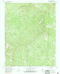
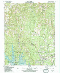
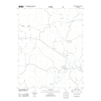
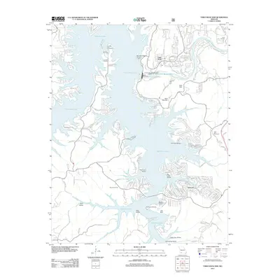
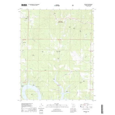
1967 Map of Hilda
USGS Topo · Published 1979About this map
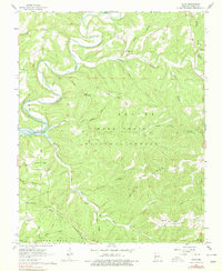
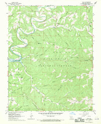
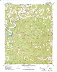
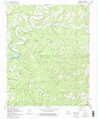
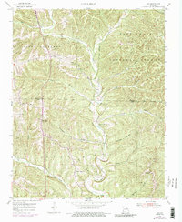
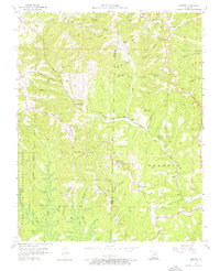
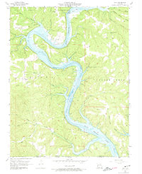
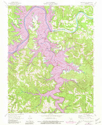
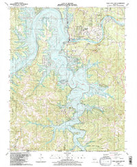
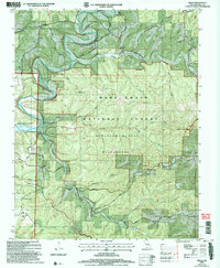
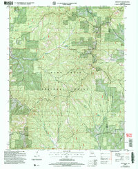
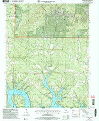
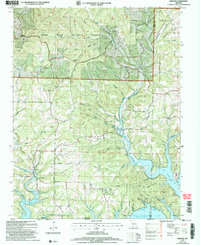
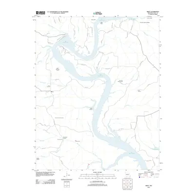
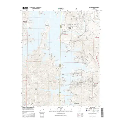
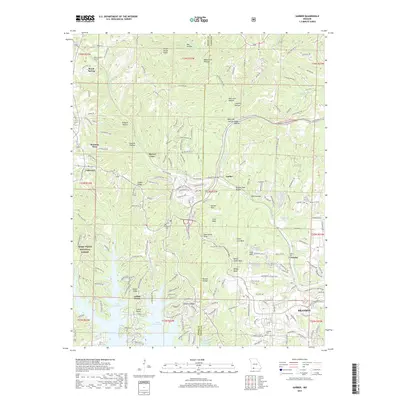
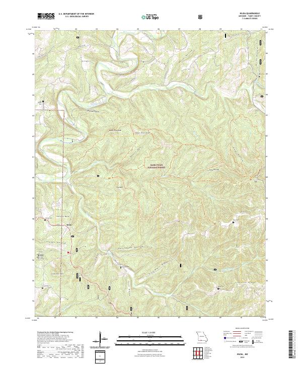
Hilda serves as the central point in this part of Taney County, surrounded by the deep drainages and steep summits of the Mark Twain National Forest. The landscape is defined by the winding course of Beaver Creek and the fluctuating shoreline of Bull Shoals Lake. Prominent high points like Lower Pilot Knob, Upper Pilot Knob, and Coy Bald rise above the many hollows that feed into larger streams like Brushy Creek and Cedar Creek.
Find a feature on this map
45 named features on this map. Tap any name to fly to it.
Don’t see what you’re looking for? This feature index may not catch every label — zoom into the map to look around manually.
Map Details
Editions of this 1967 Hilda Map
4 editions found
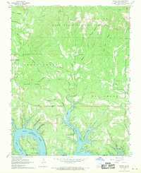
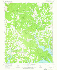
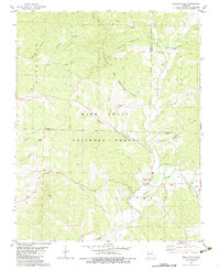
Historical Maps of Hilda Through Time
55 maps found

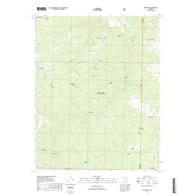
1943 Protem
Taney County, MO

1950 Garber
Taney County, MO
1955 Day
Taney County, MO
1956 Garber
Taney County, MO
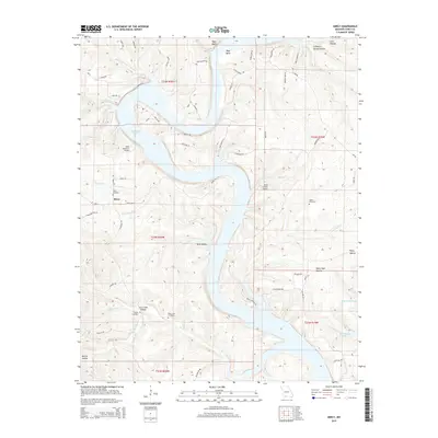
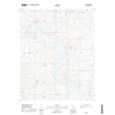
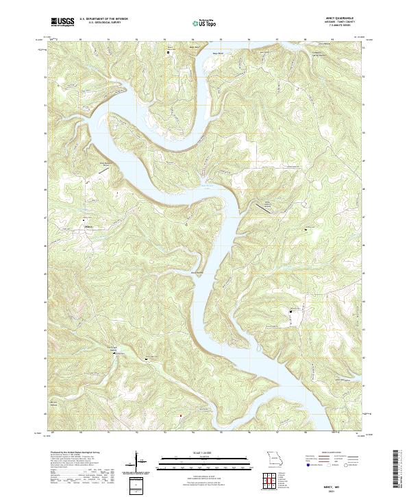
1956 Mincy
Taney County, MO
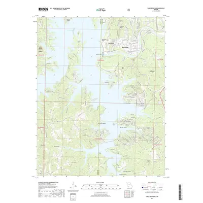
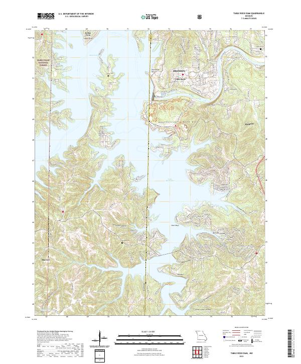
1956 Table Rock Dam
Taney County, MO
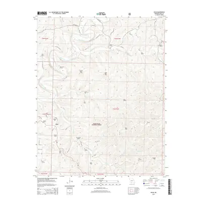
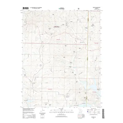
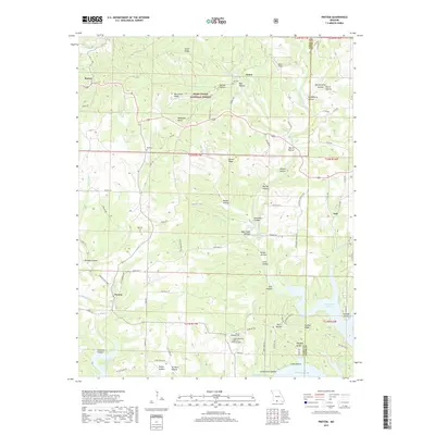
1967 Hilda
Taney County, MO
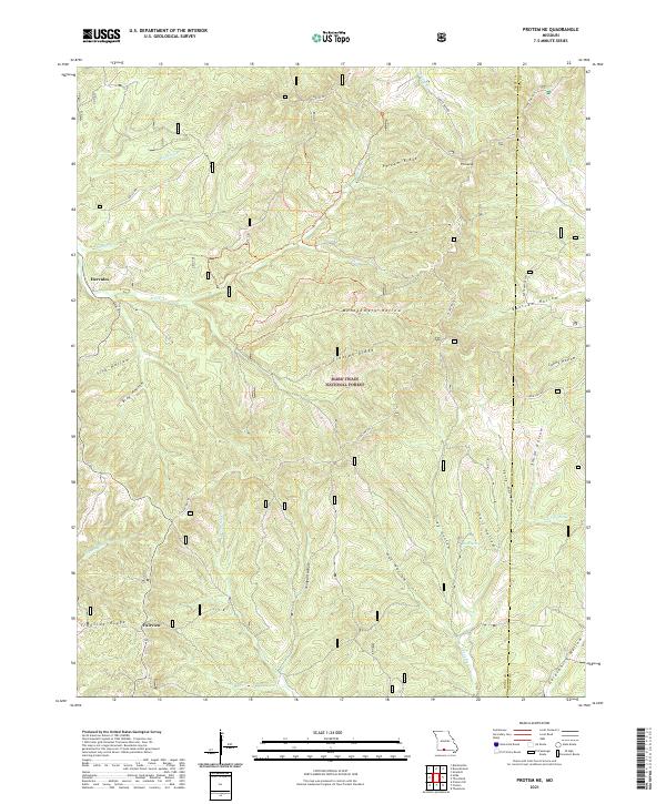
1968 Protem NE
Taney County, MO
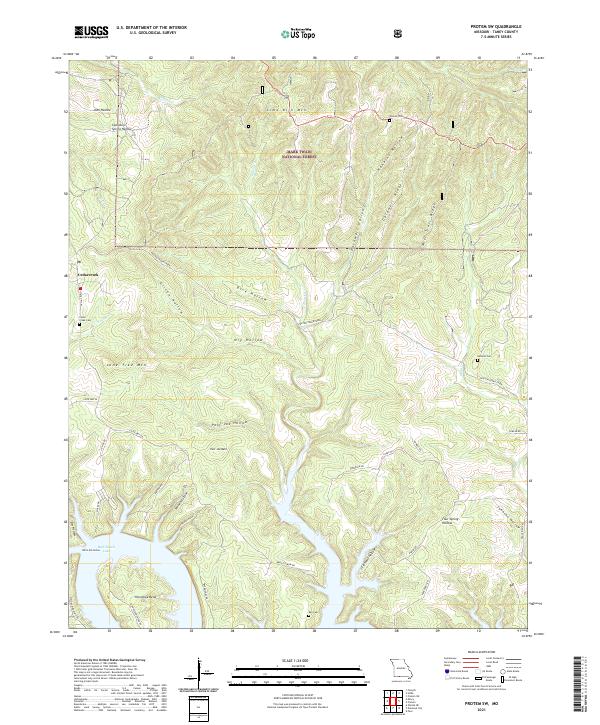
1968 Protem SW
Taney County, MO
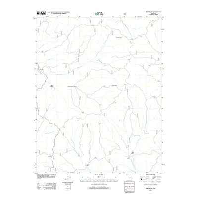
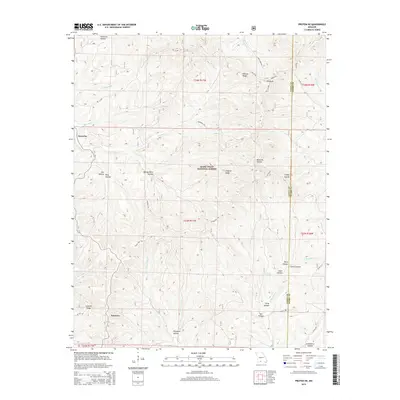
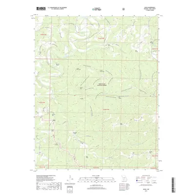
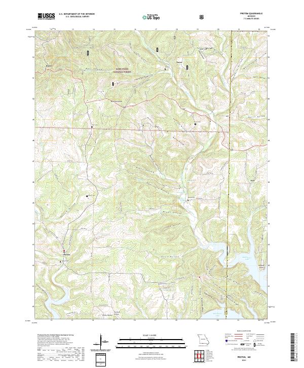
1968 Protem
Taney County, MO
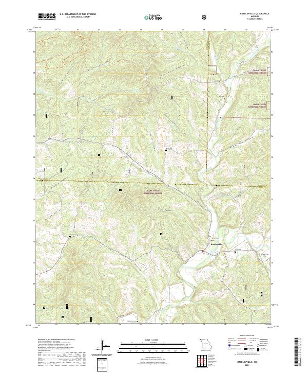
1982 Bradleyville
Taney County, MO
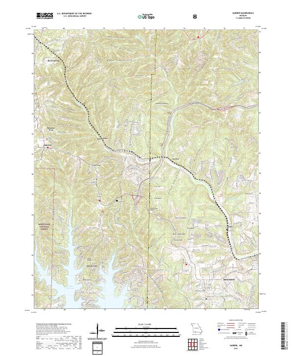
1989 Garber
Taney County, MO
1989 Table Rock Dam
Taney County, MO
2004 Bradleyville
Taney County, MO
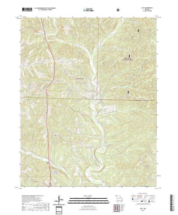
2004 Day
Taney County, MO
2004 Hilda
Taney County, MO
2004 Protem NE
Taney County, MO
2004 Protem SW
Taney County, MO
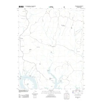
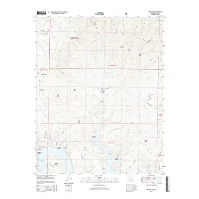
2004 Protem
Taney County, MO
2012 Bradleyville
Taney County, MO
2012 Day
Taney County, MO
2012 Garber
Taney County, MO
2012 Hilda
Taney County, MO
2012 Mincy
Taney County, MO
2012 Protem NE
Taney County, MO
2012 Protem SW
Taney County, MO
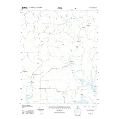
2012 Protem
Taney County, MO
2012 Table Rock Dam
Taney County, MO
2015 Bradleyville
Taney County, MO
2015 Day
Taney County, MO
2015 Garber
Taney County, MO
2015 Hilda
Taney County, MO
2015 Mincy
Taney County, MO
2015 Protem NE
Taney County, MO
2015 Protem SW
Taney County, MO
2015 Protem
Taney County, MO
2015 Table Rock Dam
Taney County, MO
2017 Bradleyville
Taney County, MO
2017 Day
Taney County, MO
2017 Garber
Taney County, MO
2017 Hilda
Taney County, MO
2017 Mincy
Taney County, MO
2017 Protem NE
Taney County, MO
2017 Protem SW
Taney County, MO
2017 Protem
Taney County, MO
2017 Table Rock Dam
Taney County, MO
2021 Bradleyville
Taney County, MO
2021 Day
Taney County, MO
2021 Garber
Taney County, MO
2021 Hilda
Taney County, MO
2021 Mincy
Taney County, MO
2021 Protem NE
Taney County, MO
2021 Protem SW
Taney County, MO
2021 Protem
Taney County, MO
2021 Table Rock Dam
Taney County, MO