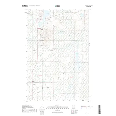
2019 Map of Hill City
USGS Topo · Published 2019About this map
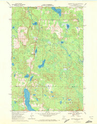
Hill City sits at the northern edge of this Aitkin County landscape, where the Hill River flows into the expansive Hill Lake. The geography here is defined by a complex network of wetlands and water management, including the Moose River Flowage and the Hill River Ditch, which cut through the extensive lowlands of the southern half of the quadrangle. Rising above the surrounding marshes is Quadna Mtn, a prominent local elevation that serves as a backdrop to the Hill City-Quadna Mountain Airport.
Find a feature on this map
45 named features on this map. Tap any name to fly to it.
Don’t see what you’re looking for? This feature index may not catch every label — zoom into the map to look around manually.
Map Details
Editions of this 2019 Hill City Map
This is the sole edition of this map. No revisions or reprints were ever made.
Other maps of this area

1953 · Duluth
USGS Topo · 1:250,000

1954 · Hibbing
USGS Topo · 1:250,000

1957 · Hibbing
USGS Topo · 1:250,000

1958 · Hibbing
USGS Topo · 1:250,000

1958 · Duluth
USGS Topo · 1:250,000

1964 · Hibbing
USGS Topo · 1:250,000
1970 · Split Hand Lake
USGS Topo · 1:24,000
1970 · Rabey
USGS Topo · 1:24,000
1970 · Big Thunder Peak
USGS Topo · 1:24,000
1970 · Mountain Ash Lake
USGS Topo · 1:24,000