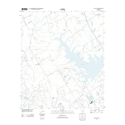
2013 Map of Hill City
USGS Topo · Published 2013About this map
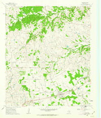
Hill City and Neri anchor this landscape in north-central Texas, a region defined by the complex shoreline of the Squaw Cr Reservoir. The terrain is deeply incised by numerous seasonal and perennial waterways, including the Paluxy River, Lollar Br, and Prairie Cr, which carve through features like Opossum Hollow and Wildcat Hollow. The presence of the Commanche Peak Sta near the reservoir's edge indicates the area's role in the state's power infrastructure during the early twenty-first century.
Find a feature on this map
71 named features on this map. Tap any name to fly to it.
Don’t see what you’re looking for? This feature index may not catch every label — zoom into the map to look around manually.
Map Details
Editions of this 2013 Hill City Map
This is the sole edition of this map. No revisions or reprints were ever made.
Other maps of this area
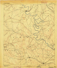
1889 · Granbury
USGS Topo · 1:125,000
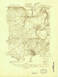
1923 · Granbury 2-a
USGS Topo · 1:48,000
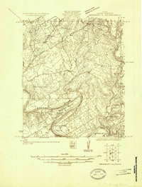
1923 · Granbury 1-b
USGS Topo · 1:48,000
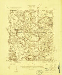
1924 · Granbury 1-c
USGS Topo · 1:48,000
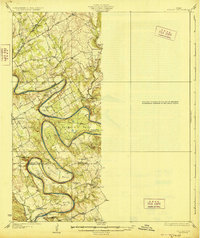
1928 · Godley
USGS Topo · 1:62,500
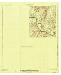
1931 · Morgan
USGS Topo · 1:62,500
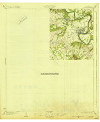
1931 · Tolar
USGS Topo · 1:62,500

1954 · Dallas
USGS Topo · 1:250,000

1958 · Dallas
USGS Topo · 1:250,000
1960 · Tolar
USGS Topo · 1:24,000