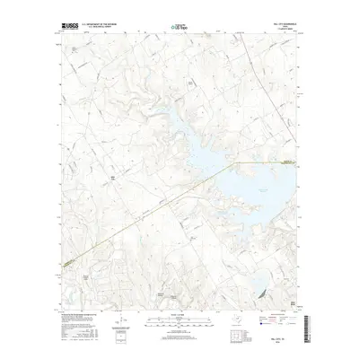
2016 Map of Hill City
USGS Topo · Published 2016About this map
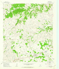
The Squaw Creek Reservoir dominates this portion of the Texas landscape, serving as a massive water feature that bisects the border between Hood and Somervell counties. The reservoir, along with the adjacent Safe Shutdown Impoundment, reflects the industrial and utility-driven land use of the mid-2010s in this region. To the west, the settlement of Hill City sits atop the higher ground, connected by the Hill City Hwy and Farm Rd 201, while the community of Glen Rose appears in the southeast corner near the winding Paluxy River. Local genealogy and land history are preserved through sites like Mount Pleasant Cem and Post Oak Cem, while aviation activity is noted at Parker Airport and the Running M Ranch Airport. The terrain is characterized by numerous seasonal drainages such as Lollar Br and Panther Br that cut through local depressions like Opossum Hollow and Wildcat Hollow.
Find a feature on this map
69 named features on this map. Tap any name to fly to it.
Don’t see what you’re looking for? This feature index may not catch every label — zoom into the map to look around manually.
Map Details
Editions of this 2016 Hill City Map
This is the sole edition of this map. No revisions or reprints were ever made.
Other maps of this area
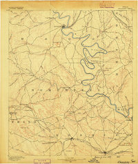
1889 · Granbury
USGS Topo · 1:125,000
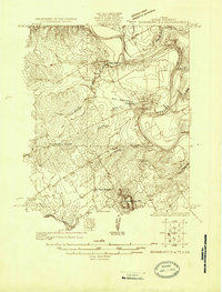
1923 · Granbury 2-a
USGS Topo · 1:48,000
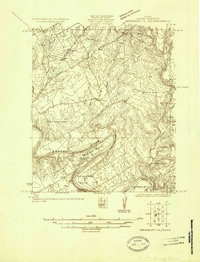
1923 · Granbury 1-b
USGS Topo · 1:48,000
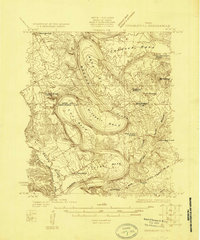
1924 · Granbury 1-c
USGS Topo · 1:48,000
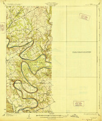
1928 · Godley
USGS Topo · 1:62,500
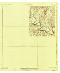
1931 · Morgan
USGS Topo · 1:62,500
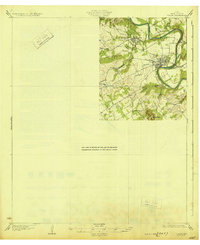
1931 · Tolar
USGS Topo · 1:62,500

1954 · Dallas
USGS Topo · 1:250,000

1958 · Dallas
USGS Topo · 1:250,000
1960 · Tolar
USGS Topo · 1:24,000