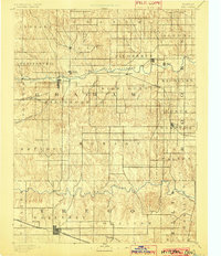
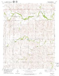
1893 Map of Hill
USGS Topo · Published 1902About this map
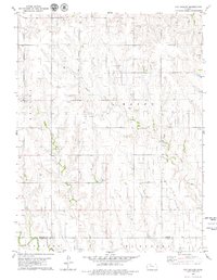
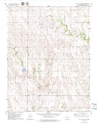
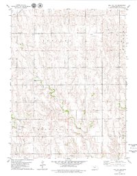
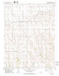
Nicodemus stands as a prominent point of interest in the Solomon Valley at the close of the nineteenth century, marking a critical era of settlement on the Kansas plains. This survey, conducted by W.J. Peters under the direction of J.W. Powell, illustrates the vital role of the South Fork Solomon River and the Saline River in dictating the early footprint of Graham County and Trego County. The layout of the land is heavily influenced by the progress of the Union Pacific Railway, which anchors the town of Wakeeney to the south. Small outposts such as Millbrook, Bogue, and Gould punctuate the landscape, connected by a network of drainage systems like Skunk Creek and Spring Creek. The map provides a look at the township divisions of the era, from Algona to Ogallah, before modern irrigation and highways altered the high plains character of the region.
Find a feature on this map
39 named features on this map. Tap any name to fly to it.
Don’t see what you’re looking for? This feature index may not catch every label — zoom into the map to look around manually.
Map Details
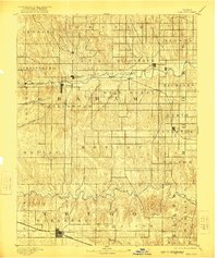
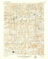
Editions of this 1893 Hill Map
4 editions found

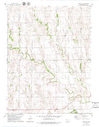
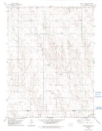
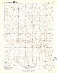
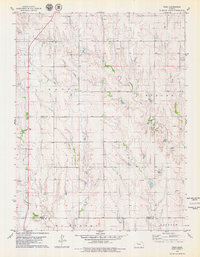
Historical Maps of WaKeeney Through Time
60 maps found
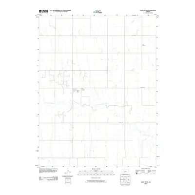
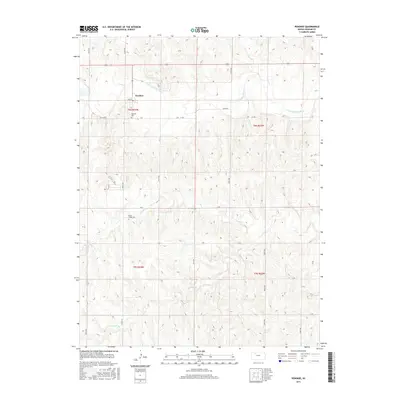
1979 Bogue NW
Graham County, KS
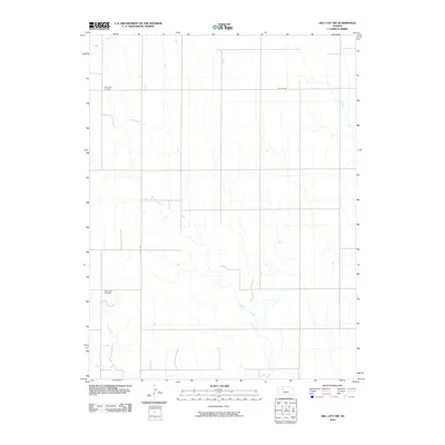
1979 Hay Hollow
Graham County, KS
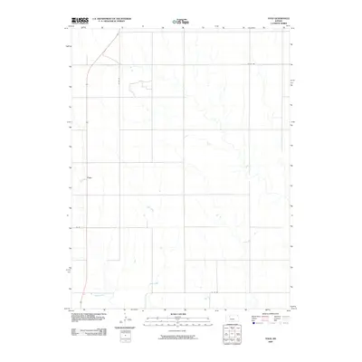
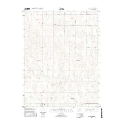
1979 Hill City North
Graham County, KS
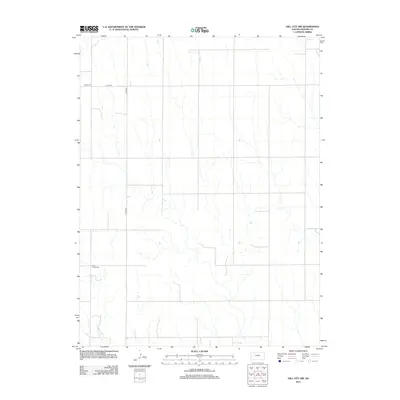
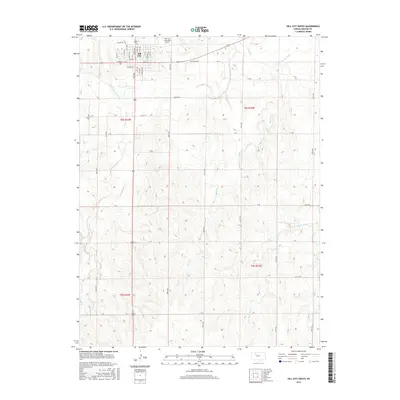
1979 Hill City NW
Graham County, KS

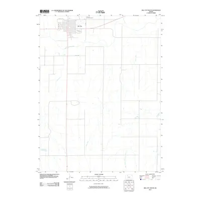
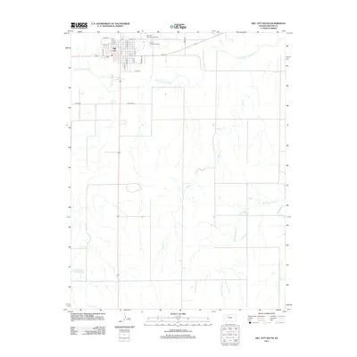
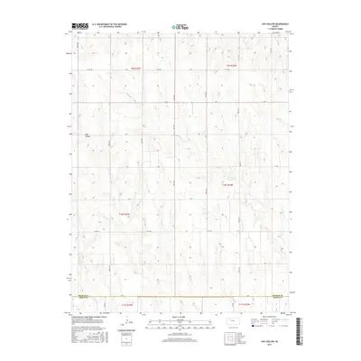
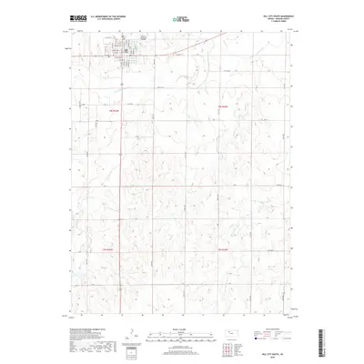
1979 Hill City South
Graham County, KS
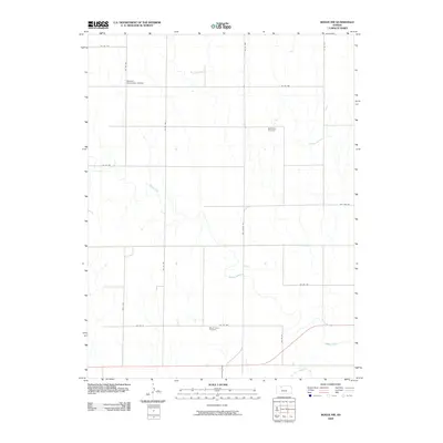
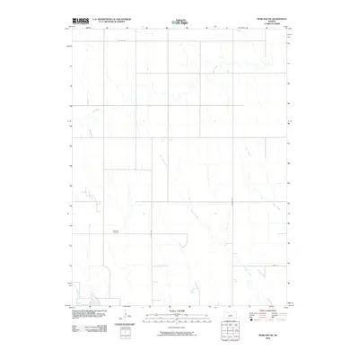
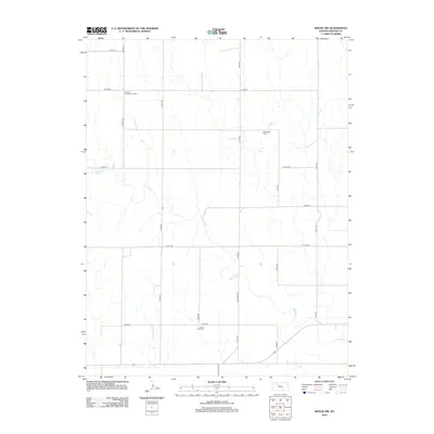
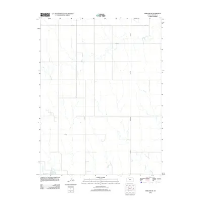
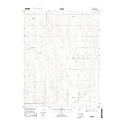
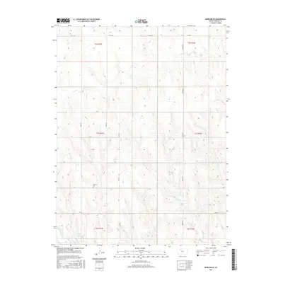
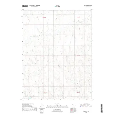
1979 Morland NE
Graham County, KS
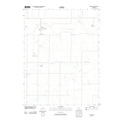
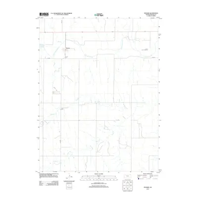
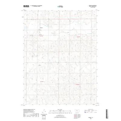
1979 Penokee
Graham County, KS
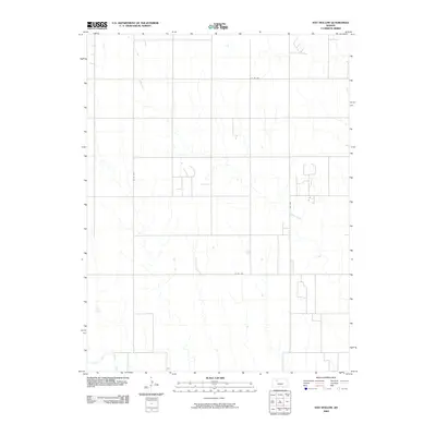
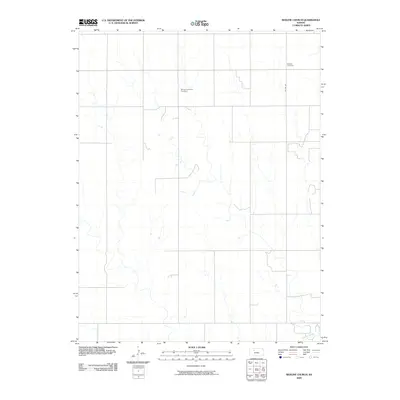
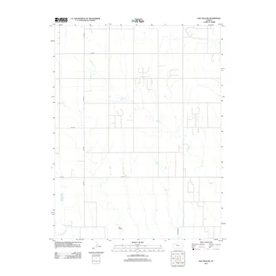
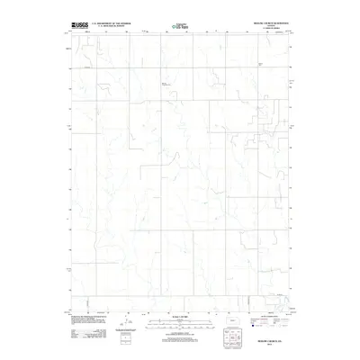
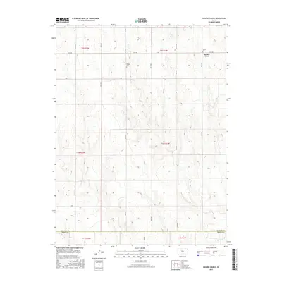
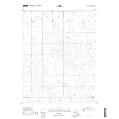
1979 Redline Church
Graham County, KS
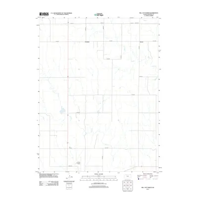
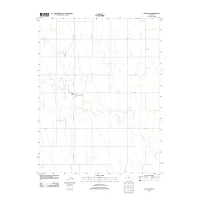
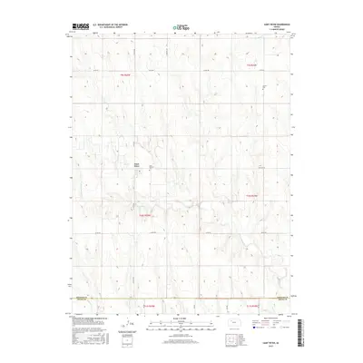
1979 St Peter
Graham County, KS
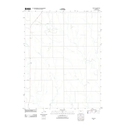
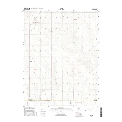
1979 Togo
Graham County, KS
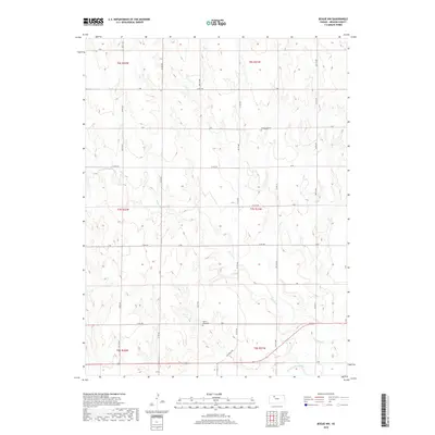
2009 Bogue NW
Graham County, KS
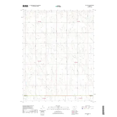
2009 Hay Hollow
Graham County, KS

2009 Hill City North
Graham County, KS
2009 Morland NE
Graham County, KS
2009 Redline Church
Graham County, KS
2009 Togo
Graham County, KS
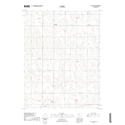
2010 Hill City NW
Graham County, KS
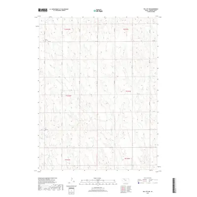
2010 Hill City South
Graham County, KS
2010 Penokee
Graham County, KS
2010 Saint Peter
Graham County, KS
2012 Bogue NW
Graham County, KS
2012 Hay Hollow
Graham County, KS
2012 Hill City North
Graham County, KS
2012 Hill City NW
Graham County, KS
2012 Hill City South
Graham County, KS
2012 Morland NE
Graham County, KS
2012 Penokee
Graham County, KS
2012 Redline Church
Graham County, KS
2012 Saint Peter
Graham County, KS
2012 Togo
Graham County, KS
2015 Bogue NW
Graham County, KS
2015 Hay Hollow
Graham County, KS
2015 Hill City North
Graham County, KS

2015 Hill City NW
Graham County, KS
2015 Hill City South
Graham County, KS
2015 Morland NE
Graham County, KS
2015 Penokee
Graham County, KS
2015 Saint Peter
Graham County, KS
2015 Togo
Graham County, KS
2016 Redline Church
Graham County, KS
2018 Bogue NW
Graham County, KS
2018 Hay Hollow
Graham County, KS
2018 Hill City North
Graham County, KS
2018 Hill City NW
Graham County, KS
2018 Hill City South
Graham County, KS
2018 Morland NE
Graham County, KS
2018 Penokee
Graham County, KS
2018 Redline Church
Graham County, KS
2018 Saint Peter
Graham County, KS
2018 Togo
Graham County, KS
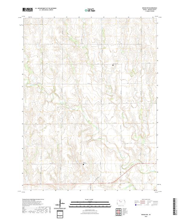
2022 Bogue NW
Graham County, KS
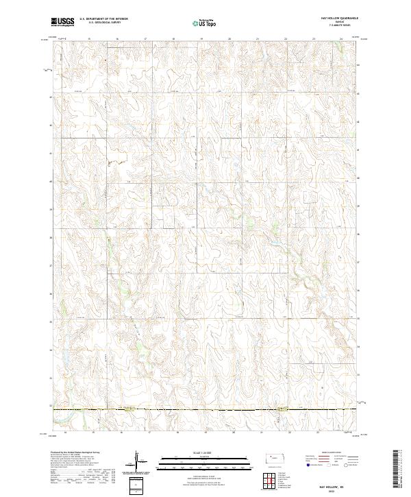
2022 Hay Hollow
Graham County, KS
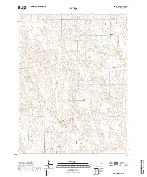
2022 Hill City North
Graham County, KS
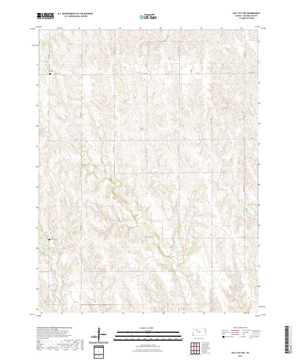
2022 Hill City NW
Graham County, KS
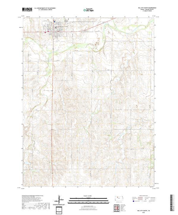
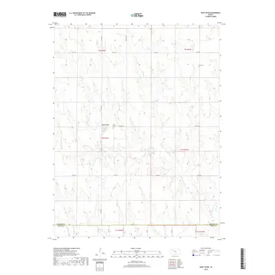
2022 Hill City South
Graham County, KS
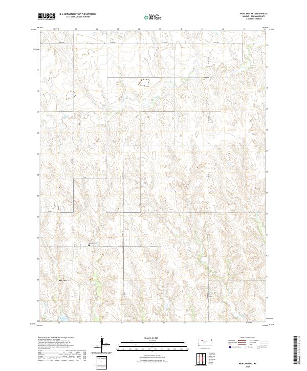
2022 Morland NE
Graham County, KS
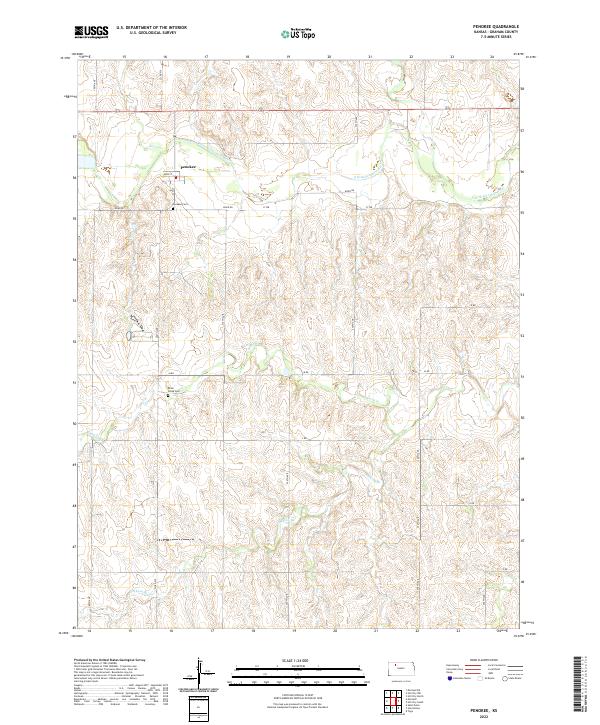
2022 Penokee
Graham County, KS
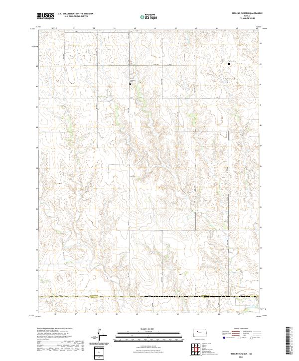
2022 Redline Church
Graham County, KS
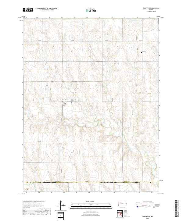
2022 Saint Peter
Graham County, KS
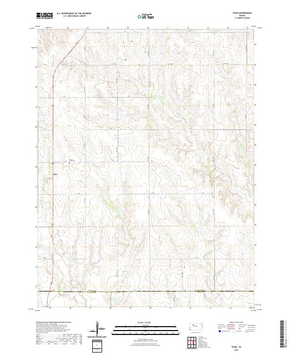
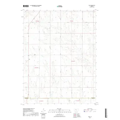
2022 Togo
Graham County, KS