
1893 Map of Hill
USGS Topo · Published 1893About this map
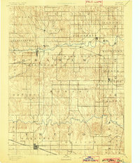
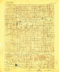
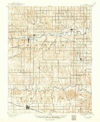
Nicodemus stands out as a focal point on this landscape, established as an all-black settlement during the late 19th-century Reconstruction era. The town is situated north of the South Fork Solomon River, in an area defined by the emerging transportation corridor of the Union Pacific Railway. This rail line connects the smaller stations of Bogue, Millbrook, and Reford, which served the surrounding agricultural townships. To the south, the terrain descends toward the Saline River and Big Creek, where the larger settlement of Wakeeney anchors the southern portion of the survey. The map reveals the intricate drainage patterns of Western Kansas through various named waterways like Wild Horse Creek and Coon Creek, illustrating how the early settlers navigated the prairie and chose town sites based on both water access and the strategic path of the railway.
Find a feature on this map
39 named features on this map. Tap any name to fly to it.
Don’t see what you’re looking for? This feature index may not catch every label — zoom into the map to look around manually.
Map Details
Editions of this 1893 Hill Map
4 editions found
Other maps of this area

1893 · Ellis
USGS Topo · 1:125,000

1893 · Norton
USGS Topo · 1:125,000

1893 · Phillipsburg
USGS Topo · 1:125,000

1896 · Hays
USGS Topo · 1:125,000

1896 · Plainville
USGS Topo · 1:125,000

1952 · Webster Dam
USGS Topo · 1:24,000

1954 · Goodland
USGS Topo · 1:250,000

1955 · Great Bend
USGS Topo · 1:250,000

1955 · Scott City
USGS Topo · 1:250,000

1955 · Beloit
USGS Topo · 1:250,000