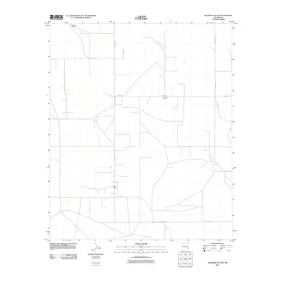
2010 Map of Hillburn City SW
USGS Topo · Published 2010About this map
Morton Oil Field sits at the heart of this grid-defined landscape in Lea County, illustrating the industrial character of southeastern New Mexico's plains. The map reveals an area dominated by energy extraction and infrastructure, where a network of rural routes including Hilburn Rd and County Rd-104 connects isolated work sites and landmarks. Small-scale resource management is evident at the Lea County Road Pit, while the presence of the West Jim Windmill points to the continued importance of water access in this arid terrain. The labeling of Hilburn and Hightop highlights specific locales within the expansive cattle and oil country, providing essential reference points for understanding the settlement and land-use patterns of the early 21st century.
Find a feature on this map
12 named features on this map. Tap any name to fly to it.
Don’t see what you’re looking for? This feature index may not catch every label — zoom into the map to look around manually.
Map Details
Editions of this 2010 Hillburn City SW Map
This is the sole edition of this map. No revisions or reprints were ever made.
Other maps of this area

1954 · Hobbs
USGS Topo · 1:250,000

1954 · Brownfield
USGS Topo · 1:250,000

1958 · Brownfield
USGS Topo · 1:250,000

1958 · Hobbs
USGS Topo · 1:250,000

1962 · Brownfield
USGS Topo · 1:250,000
1962 · Lovington
USGS Topo · 1:24,000
1962 · Lovington
USGS Topo · 1:62,500
1962 · Buckeye
USGS Topo · 1:62,500
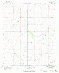
1970 · Hillburn City
USGS Topo · 1:24,000
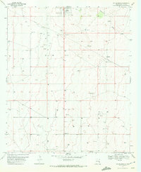
1970 · Tatum South
USGS Topo · 1:24,000