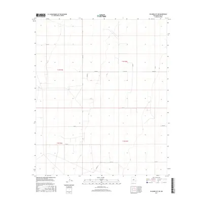
2017 Map of Hillburn City SW
USGS Topo · Published 2017About this map
Lea County land west of the High Plains escarpment is defined here by a rigid grid of ranching roads and township boundaries. This 2017 survey details the landscape across the intersections of t14s r34e, t14s r35e, t15s r34e, and t15s r35e. The network of local access roads like Hilburn Rd, Kidd Rd, and Markum Rd suggests a landscape partitioned for grazing or mineral extraction. Named lanes such as Liz Ln, Alma Ln, and Marthe Ln offer clues for genealogists and local historians tracking family-owned parcels and homesteads. The terrain is largely uniform, punctuated by the north-south artery of Co Rd 147 and scattered residential or agricultural landmarks like Hightop and Macduff, which anchor the sparse settlement patterns of this corner of New Mexico.
Find a feature on this map
18 named features on this map. Tap any name to fly to it.
Don’t see what you’re looking for? This feature index may not catch every label — zoom into the map to look around manually.
Map Details
Editions of this 2017 Hillburn City SW Map
This is the sole edition of this map. No revisions or reprints were ever made.
Other maps of this area

1954 · Hobbs
USGS Topo · 1:250,000

1954 · Brownfield
USGS Topo · 1:250,000

1958 · Brownfield
USGS Topo · 1:250,000

1958 · Hobbs
USGS Topo · 1:250,000

1962 · Brownfield
USGS Topo · 1:250,000
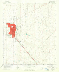
1962 · Lovington
USGS Topo · 1:24,000
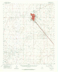
1962 · Lovington
USGS Topo · 1:62,500
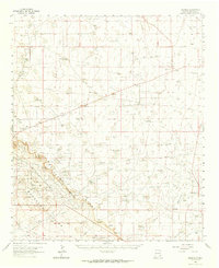
1962 · Buckeye
USGS Topo · 1:62,500
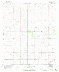
1970 · Hillburn City
USGS Topo · 1:24,000
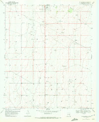
1970 · Tatum South
USGS Topo · 1:24,000