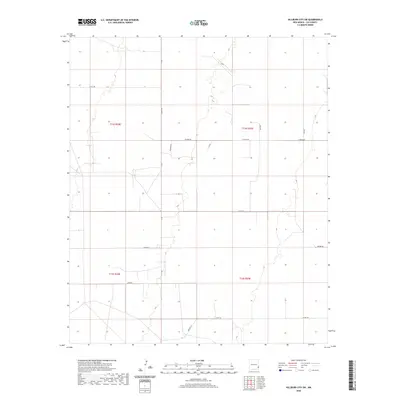
2020 Map of Hillburn City SW
USGS Topo · Published 2020About this map
The expansive plains of eastern New Mexico define this area of Lea County, where a sparse network of county roads and section lines organizes the landscape. The layout reflects the systematic division of public lands, primarily spanning townships t14s r34e, t14s r35e, t15s r34e, and t15s r35e. Named thoroughfares like Hilburn Rd and Markum Rd connect isolated outposts and ranching tracks, including Kidd Rd and the short stretch of Macduff. Small localized points of interest such as Hightop and Alma Ln indicate pockets of settlement or agricultural activity within the grid. The terrain is relatively flat, marked only by subtle elevation changes and the occasional drainage, typical of the High Plains ranching country near the Texas border.
Find a feature on this map
18 named features on this map. Tap any name to fly to it.
Don’t see what you’re looking for? This feature index may not catch every label — zoom into the map to look around manually.
Map Details
Editions of this 2020 Hillburn City SW Map
This is the sole edition of this map. No revisions or reprints were ever made.
Other maps of this area

1954 · Hobbs
USGS Topo · 1:250,000

1954 · Brownfield
USGS Topo · 1:250,000

1958 · Brownfield
USGS Topo · 1:250,000

1958 · Hobbs
USGS Topo · 1:250,000

1962 · Brownfield
USGS Topo · 1:250,000
1962 · Lovington
USGS Topo · 1:24,000
1962 · Lovington
USGS Topo · 1:62,500
1962 · Buckeye
USGS Topo · 1:62,500
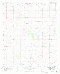
1970 · Hillburn City
USGS Topo · 1:24,000
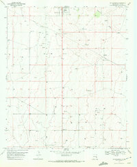
1970 · Tatum South
USGS Topo · 1:24,000