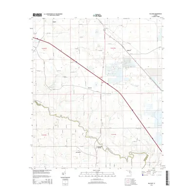
2015 Map of Hillcoat
USGS Topo · Published 2015About this map
The Suwannee River carves a winding path through the heart of the North Florida landscape, marking the boundary between Hamilton and Suwannee counties. This 2015 record shows the transition from the municipal center of Jasper in the northwest toward the historic water-focused settlement of Suwannee Springs. The area is characterized by a high concentration of family and community burial grounds, including Mount Pisgah Cem, Nunn Cem, and Mitchell Cem, which serve as vital touchstones for genealogical research in these rural townships.
Find a feature on this map
86 named features on this map. Tap any name to fly to it.
Don’t see what you’re looking for? This feature index may not catch every label — zoom into the map to look around manually.
Map Details
Editions of this 2015 Hillcoat Map
This is the sole edition of this map. No revisions or reprints were ever made.
Other maps of this area

1954 · Valdosta
USGS Topo · 1:250,000

1955 · Jasper
USGS Topo · 1:24,000

1955 · Cypress Creek
USGS Topo · 1:24,000

1956 · Jennings
USGS Topo · 1:24,000

1958 · Valdosta
USGS Topo · 1:250,000

1958 · Fort Union
USGS Topo · 1:24,000

1959 · Valdosta
USGS Topo · 1:250,000

1959 · Live Oak West
USGS Topo · 1:24,000

1961 · Live Oak East
USGS Topo · 1:24,000

1961 · Hillcoat
USGS Topo · 1:24,000