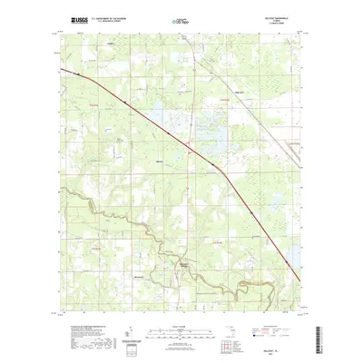
2021 Map of Hillcoat
USGS Topo · Published 2021About this map
The Suwannee River carves a winding path through this Hamilton County landscape, anchoring a region defined by its springs and dense conservation networks. Near the river's bend, the historic site of Suwannee Springs stands as a notable landmark alongside the Woods Ferry Conservation Area Trl. The map documents a predominantly rural and natural environment where small settlements like Hillcoat and Marion are interspersed with family-named landmarks and resting places, including Mount Pisgah Cem and Nunn Cem.
Find a feature on this map
81 named features on this map. Tap any name to fly to it.
Don’t see what you’re looking for? This feature index may not catch every label — zoom into the map to look around manually.
Map Details
Editions of this 2021 Hillcoat Map
This is the sole edition of this map. No revisions or reprints were ever made.
Other maps of this area

1954 · Valdosta
USGS Topo · 1:250,000

1955 · Jasper
USGS Topo · 1:24,000

1955 · Cypress Creek
USGS Topo · 1:24,000

1956 · Jennings
USGS Topo · 1:24,000

1958 · Valdosta
USGS Topo · 1:250,000

1958 · Fort Union
USGS Topo · 1:24,000

1959 · Valdosta
USGS Topo · 1:250,000

1959 · Live Oak West
USGS Topo · 1:24,000

1961 · Live Oak East
USGS Topo · 1:24,000

1961 · Hillcoat
USGS Topo · 1:24,000