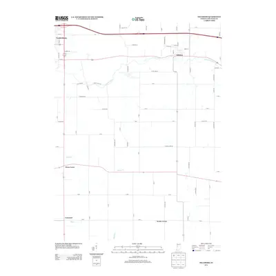
2013 Map of Hillsboro
USGS Topo · Published 2013About this map
Veedersburg and Hillsboro anchor this 2013 survey of Fountain County, where the landscape is defined by the intersection of modern transportation and established rural settlement patterns. The survey highlights a series of small named crossroads and communities, including Steam Corner, Centennial, and Wooley Corner, which speak to the area's agricultural heritage. The hydrology is dominated by the westward-flowing E Fork Coal Cr and Prairie Cr, which carve subtle drainages through the township-style grid. Local road names such as S Ghost Hollow Rd, E Bonebrake Rd, and E Prairie Chapel Rd preserve family and cultural landmarks, offering a detailed perspective on the region's geography just as it appeared in the early 21st century.
Find a feature on this map
35 named features on this map. Tap any name to fly to it.
Don’t see what you’re looking for? This feature index may not catch every label — zoom into the map to look around manually.
Map Details
Editions of this 2013 Hillsboro Map
This is the sole edition of this map. No revisions or reprints were ever made.
Other maps of this area

1948 · Wallace
USGS Topo · 1:24,000

1949 · Alamo
USGS Topo · 1:24,000

1953 · Danville
USGS Topo · 1:250,000

1953 · Indianapolis
USGS Topo · 1:250,000

1955 · Danville
USGS Topo · 1:250,000

1955 · Kingman
USGS Topo · 1:24,000

1956 · Danville
USGS Topo · 1:250,000

1956 · Indianapolis
USGS Topo · 1:250,000

1957 · Indianapolis
USGS Topo · 1:250,000

1958 · Stonebluff
USGS Topo · 1:24,000