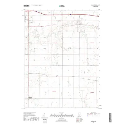
2019 Map of Hillsboro
USGS Topo · Published 2019About this map
Veedersburg and Hillsboro anchor this portion of Fountain County, where the landscape is defined by the winding course of East Fork Coal Creek and its tributaries. The settlement pattern reveals a transition from small rural junctions like Steam Corner and Centennial to the more structured grids of the larger towns. For those studying local lineage, the area is dotted with numerous burial grounds, including Rose Hill Cem, Spring Hill Cem, and the family-named Bonebrake Cem. The terrain south of Hillsboro is primarily rural, marked by a dense network of county roads like S New Liberty Rd and S McKinney Rd that facilitate access to agricultural lands and isolated features such as Scotts Prairie Cem. Prairie Cr and Buffalo Cr drain the southwestern portions, illustrating the natural drainage patterns that historically influenced local land use and development.
Find a feature on this map
66 named features on this map. Tap any name to fly to it.
Don’t see what you’re looking for? This feature index may not catch every label — zoom into the map to look around manually.
Map Details
Editions of this 2019 Hillsboro Map
This is the sole edition of this map. No revisions or reprints were ever made.
Other maps of this area

1948 · Wallace
USGS Topo · 1:24,000

1949 · Alamo
USGS Topo · 1:24,000

1953 · Danville
USGS Topo · 1:250,000

1953 · Indianapolis
USGS Topo · 1:250,000

1955 · Danville
USGS Topo · 1:250,000

1955 · Kingman
USGS Topo · 1:24,000

1956 · Danville
USGS Topo · 1:250,000

1956 · Indianapolis
USGS Topo · 1:250,000

1957 · Indianapolis
USGS Topo · 1:250,000

1958 · Stonebluff
USGS Topo · 1:24,000