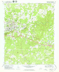
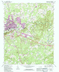
1968 Map of Hillsborough
USGS Topo · Published 1979About this map
Hillsborough and its surrounding Piedmont landscape are defined by the winding course of the Eno River and the prominent heights of Occoneechee Mtn. This survey captures the area during a period of transition, showing the established core of West Hillsborough alongside emerging residential pockets like Fairview and Mountain View. Local history is deeply rooted here, evidenced by the Governor Burke Grave and numerous country congregations such as Mars Hill Ch and New Sharon Ch. The infrastructure of the late 1960s is clearly visible, from the Southern railroad line and the County Subsidiary Prison No 056 to the various educational centers like Orange High Sch and Cameron Park Sch. The terrain is marked by significant local landmarks including Panthers Den Mtn and Scarlett Hill, reflecting the diverse topography that shaped the development of Orange County.
Find a feature on this map
72 named features on this map. Tap any name to fly to it.
Don’t see what you’re looking for? This feature index may not catch every label — zoom into the map to look around manually.
Map Details
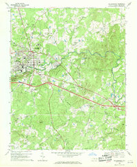
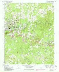
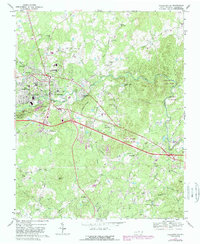
Editions of this 1968 Hillsborough Map
5 editions found
Other maps of this area

1943 · Durham South
USGS Topo · 1:62,500
1946 · Chapel Hill
USGS Topo · 1:24,000
1947 · Chapel Hill
USGS Topo · 1:31,680

1951 · Durham South
USGS Topo · 1:62,500

1951 · Durham North
USGS Topo · 1:62,500

1953 · Raleigh
USGS Topo · 1:250,000

1953 · Greensboro
USGS Topo · 1:250,000

1954 · Greensboro
USGS Topo · 1:250,000

1954 · Raleigh
USGS Topo · 1:250,000

1962 · Greensboro
USGS Topo · 1:250,000