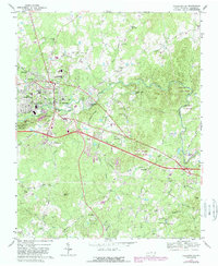
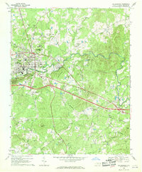
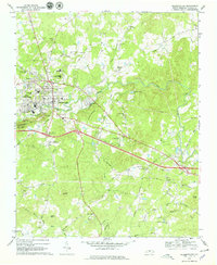
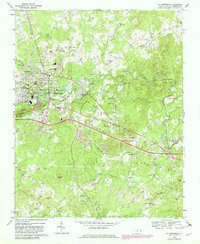
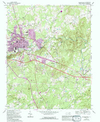
1968 Map of Hillsborough
USGS Topo · Published 1989About this map
Hillsborough serves as the central hub for this late-1960s landscape, positioned along the Southern railroad and the Eno River. The map provides a look at local civic life and history, notably marking the Governor Burke Grave and the County Subsidiary Prison No 056. Educational and religious institutions are well-recorded throughout the rural outskirts, including Orange High Sch and Mars Hill Ch, while the developing Eno River State Park begins to define the river corridor to the east. Terrain features like Occoneechee Mtn and Panthers Den offer a glimpse into the topographical variety of Orange County, while various mines point to the area's geological and industrial history. The distribution of small settlements such as West Hillsborough and University reflects the historical growth patterns along rail and road networks.
Find a feature on this map
66 named features on this map. Tap any name to fly to it.
Don’t see what you’re looking for? This feature index may not catch every label — zoom into the map to look around manually.
Map Details
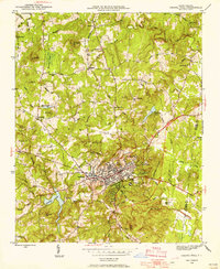
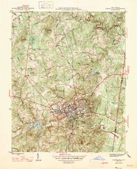
Editions of this 1968 Hillsborough Map
5 editions found
Other maps of this area

1943 · Durham South
USGS Topo · 1:62,500
1946 · Chapel Hill
USGS Topo · 1:24,000
1947 · Chapel Hill
USGS Topo · 1:31,680

1951 · Durham South
USGS Topo · 1:62,500

1951 · Durham North
USGS Topo · 1:62,500

1953 · Raleigh
USGS Topo · 1:250,000

1953 · Greensboro
USGS Topo · 1:250,000

1954 · Greensboro
USGS Topo · 1:250,000

1954 · Raleigh
USGS Topo · 1:250,000

1962 · Greensboro
USGS Topo · 1:250,000