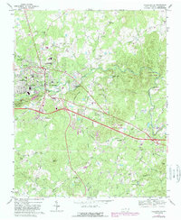
1968 Map of Hillsborough
USGS Topo · Published 1994About this map
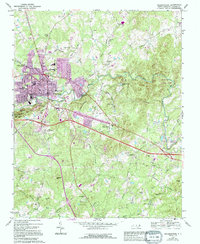
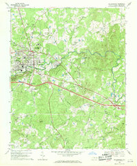
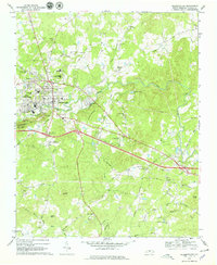
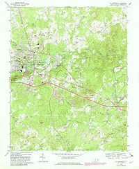
The town of Hillsborough serves as the focal point of this survey, revealing the community's mid-century footprint alongside significant purple-tinted revisions from the early 1990s. This period of growth is set against a deeply historic landscape, anchored by the Governor Burke Grave and several country churches like Mars Hill Ch and New Sharons Ch. The Southern railroad line cuts through the heart of the area, connecting West Hillsborough to the industrial and residential outskirts.
Find a feature on this map
71 named features on this map. Tap any name to fly to it.
Don’t see what you’re looking for? This feature index may not catch every label — zoom into the map to look around manually.
Map Details
Editions of this 1968 Hillsborough Map
5 editions found
Other maps of this area

1943 · Durham South
USGS Topo · 1:62,500
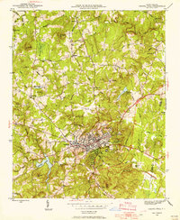
1946 · Chapel Hill
USGS Topo · 1:24,000
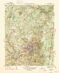
1947 · Chapel Hill
USGS Topo · 1:31,680

1951 · Durham South
USGS Topo · 1:62,500

1951 · Durham North
USGS Topo · 1:62,500

1953 · Raleigh
USGS Topo · 1:250,000

1953 · Greensboro
USGS Topo · 1:250,000

1954 · Greensboro
USGS Topo · 1:250,000

1954 · Raleigh
USGS Topo · 1:250,000

1962 · Greensboro
USGS Topo · 1:250,000