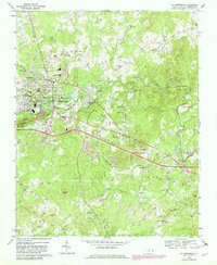
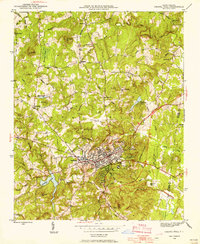
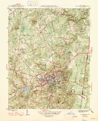
1968 Map of Hillsborough
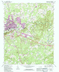
USGS Topo · Published 1982About this map
Hillsborough serves as the focal point of this Orange County landscape, situated along the bends of the Eno River during a period of significant growth and conservation. The established town center is flanked by the burgeoning residential areas of West Hillsborough and Fairview, while the southern reaches showcase the early footprint of Eno River State Park. Local history is deeply embedded in the terrain, marked by the Governor Burke Grave and numerous country churches like Mars Hill Ch and New Sharon Ch.
Find a feature on this map
64 named features on this map. Tap any name to fly to it.
Don’t see what you’re looking for? This feature index may not catch every label — zoom into the map to look around manually.
Map Details
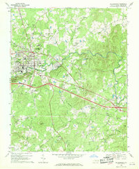
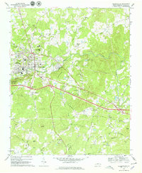
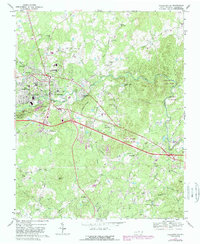
Editions of this 1968 Hillsborough Map
5 editions found
Other maps of this area

1943 · Durham South
USGS Topo · 1:62,500
1946 · Chapel Hill
USGS Topo · 1:24,000
1947 · Chapel Hill
USGS Topo · 1:31,680

1951 · Durham South
USGS Topo · 1:62,500

1951 · Durham North
USGS Topo · 1:62,500

1953 · Raleigh
USGS Topo · 1:250,000

1953 · Greensboro
USGS Topo · 1:250,000

1954 · Greensboro
USGS Topo · 1:250,000

1954 · Raleigh
USGS Topo · 1:250,000

1962 · Greensboro
USGS Topo · 1:250,000