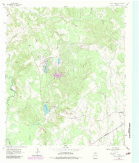
1964 Map of Hilltop Lakes
USGS Topo · Published 1983About this map
The Navasota River forms a natural boundary between Leon and Robertson counties on this mid-century survey, a landscape defined by an emerging network of recreational lakes and established rural communities. Centered around Hilltop Lakes, the map documents a series of water features including Mirror Lake, Kickapoo Lake, Swan Lake, and the larger Lake Tonkawa. This area, supported by the Hilltop Landing Strip and a Golf Course, reflects the mid-century development of vacation and leisure communities in east-central Texas. To the south, the city of Normangee serves as a local hub, featuring the Normangee City Park and the nearby Normangee Lake. Genealogy researchers will find the Greer Cem and Normangee Cem clearly marked, along with numerous drainage features like Pigeon Roost Creek and Running Creek that once influenced early settlement patterns in this part of the Post Oak Savannah.
Find a feature on this map
33 named features on this map. Tap any name to fly to it.
Don’t see what you’re looking for? This feature index may not catch every label — zoom into the map to look around manually.
Map Details
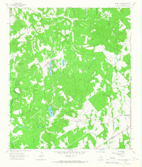
Editions of this 1964 Hilltop Lakes Map
2 editions found
Other maps of this area

1925 · Iola No 2
USGS Topo · 1:48,000

1925 · Marquez No. 1
USGS Topo · 1:48,000

1925 · Marquez No. 4
USGS Topo · 1:48,000

1927 · Marquez
USGS Topo · 1:62,500

1930 · Marquez
USGS Topo · 1:62,500

1931 · Iola
USGS Topo · 1:62,500

1954 · Waco
USGS Topo · 1:250,000

1954 · Austin
USGS Topo · 1:250,000

1955 · Waco
USGS Topo · 1:250,000

1962 · Edge
USGS Topo · 1:24,000