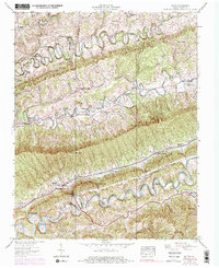
1938 Map of Hilton
USGS Topo · Published 1978About this map
Dorton Fort stands as a notable landmark in this landscape of southwestern Virginia, where the terrain is defined by the steep, parallel ridges of Moccasin Ridge and Clinch Mountain. The map illustrates a rural society organized around narrow valleys and gaps, with transportation following the natural contours of Moccasin Creek and the North Fork Holston River. Along the southern edge, the Southern railroad line threads through Maces Spring and Hilton, connecting these communities to the regional economy.
Find a feature on this map
56 named features on this map. Tap any name to fly to it.
Don’t see what you’re looking for? This feature index may not catch every label — zoom into the map to look around manually.
Map Details
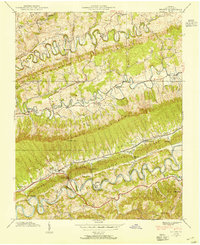
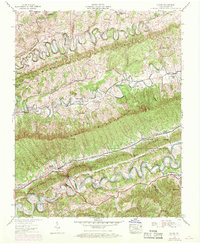
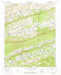
Editions of this 1938 Hilton Map
4 editions found
Other maps of this area

1894 · Estillville
USGS Topo · 1:125,000

1897 · Bristol
USGS Topo · 1:125,000

1902 · Bristol
USGS Topo · 1:125,000

1920 · Wise
USGS Topo · 1:48,000

1920 · Coeburn
USGS Topo · 1:48,000

1921 · Wise
USGS Topo · 1:62,500

1935 · Hilton
USGS Topo · 1:24,000

1935 · Moggasin
USGS Topo · 1:48,000

1935 · Mendota
USGS Topo · 1:24,000

1935 · Blountville
USGS Topo · 1:24,000