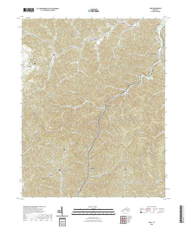
2022 Map of Hima
USGS Topo · Published 2022About this map
Goose Creek and the Collins Fork of Richland Creek define the drainage patterns of this deeply dissected landscape in Clay and Knox counties. Modern settlements such as Sibert, Hima, and Woollum are connected by a network of winding roads including N KY 11 and the aptly named Disappointment Rd. Family history is deeply rooted in the small cemeteries scattered throughout the hollows, such as the Harris Cem, Cottongim Cem, and Frost Cem. The map reveals a high density of named water features, from Buzzard Cr to Engine Br, which dictate the placement of local communities like Pigeonroost and Cottongim. This topographic record illustrates the persistent relationship between the Appalachian terrain and the small, distributed settlements that have occupied these narrow valleys for generations.
Find a feature on this map
67 named features on this map. Tap any name to fly to it.
Don’t see what you’re looking for? This feature index may not catch every label — zoom into the map to look around manually.
Map Details
Editions of this 2022 Hima Map
This is the sole edition of this map. No revisions or reprints were ever made.
Other maps of this area

1886 · Cumberland Gap
USGS Topo · 1:125,000

1888 · Cumberland Gap
USGS Topo · 1:125,000

1891 · Manchester
USGS Topo · 1:125,000

1891 · Cumberland Gap
USGS Topo · 1:125,000

1903 · Pineville
USGS Topo · 1:48,000

1952 · Portersburg
USGS Topo · 1:24,000

1952 · Heidrick
USGS Topo · 1:24,000

1952 · Hima
USGS Topo · 1:24,000

1952 · Blackwater
USGS Topo · 1:24,000

1952 · Fount
USGS Topo · 1:24,000