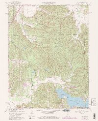
1961 Map of Hindustan
USGS Topo · Published 1981About this map
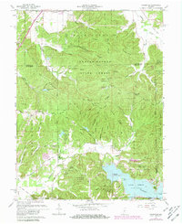
Morgan-Monroe State Forest and Yellowwood State Forest dominate this landscape northeast of Benton, where deep ridges and hollows dictate the layout of rural settlement. The map captures a moment when the shoreline of Lake Lemon was already established, featuring prominent landmarks like Riddle Point and Cemetery Island. A striking historical marker, the Old Indian Treaty Boundary, cuts diagonally across the southern terrain, providing a clear reference to the region's early administrative history.
Find a feature on this map
70 named features on this map. Tap any name to fly to it.
Don’t see what you’re looking for? This feature index may not catch every label — zoom into the map to look around manually.
Map Details
Editions of this 1961 Hindustan Map
5 editions found
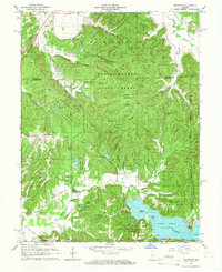
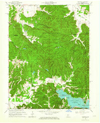
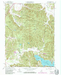
Other maps of this area

1908 · Bloomington
USGS Topo · 1:48,000

1910 · Bloomington
USGS Topo · 1:62,500

1942 · Franklin
USGS Topo · 1:125,000

1946 · Belmont
USGS Topo · 1:24,000

1947 · Unionville
USGS Topo · 1:24,000

1948 · Hindustan
USGS Topo · 1:24,000

1948 · Morgantown
USGS Topo · 1:24,000

1950 · Belmont
USGS Topo · 1:24,000

1950 · Morgantown
USGS Topo · 1:24,000

1953 · Indianapolis
USGS Topo · 1:250,000