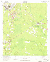
1958 Map of Hinesville
USGS Topo · Published 1972About this map
Hinesville serves as the focal point of this coastal plain landscape, situated at the boundary of the Fort Stewart Military Reservation. In the mid-20th century, the area maintained a distinct rural character defined by a network of small settlements and expansive wetlands, including Davis Swamp and Goshen Swamp. The Atlantic Coast Line Railroad bisects the terrain, connecting communities like McIntosh, Allenhurst, and Walthourville.
Find a feature on this map
45 named features on this map. Tap any name to fly to it.
Don’t see what you’re looking for? This feature index may not catch every label — zoom into the map to look around manually.
Map Details
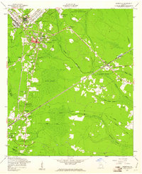
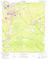
Editions of this 1958 Hinesville Map
3 editions found
Other maps of this area

1918 · Hinesville
USGS Topo · 1:62,500

1920 · Sapelo River
USGS Topo · 1:62,500

1920 · Limerick
USGS Topo · 1:62,500

1943 · Ludowici
USGS Topo · 1:62,500

1943 · Sapelo River
USGS Topo · 1:62,500

1944 · Hinesville
USGS Topo · 1:62,500

1944 · Limerick
USGS Topo · 1:62,500

1945 · Sapelo River
USGS Topo · 1:62,500

1946 · Brunswick
USGS Topo · 1:250,000

1948 · Brunswick
USGS Topo · 1:250,000