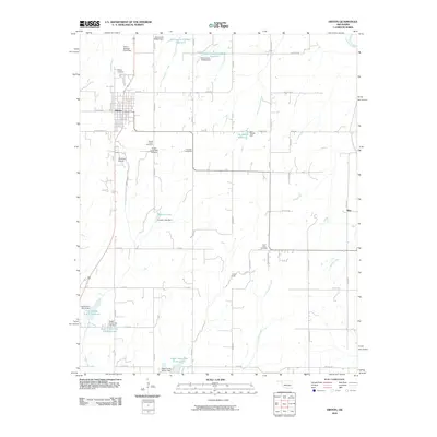
2010 Map of Hinton
USGS Topo · Published 2010About this map
The town of Hinton serves as the primary hub in this Caddo County landscape, positioned at the junction of State Highway 37 and US Highway 281. This 2010 survey illustrates a region defined by agricultural water management, evidenced by the numerous reservoirs and dams like Fay Abbott Reservoir and Zobisch Lake. The settlement patterns are anchored by local heritage sites, including the Hinton Cemetery, Sacred Heart Cemetery, and Saint Johns Cemetery located near the intersection of S Methodist Rd and E 1100 Rd.
Find a feature on this map
57 named features on this map. Tap any name to fly to it.
Don’t see what you’re looking for? This feature index may not catch every label — zoom into the map to look around manually.
Map Details
Editions of this 2010 Hinton Map
This is the sole edition of this map. No revisions or reprints were ever made.
Other maps of this area

1893 · Fort Reno
USGS Topo · 1:62,500

1893 · Buggy Creek
USGS Topo · 1:62,500

1941 · Fort Reno
USGS Topo · 1:62,500

1942 · Fort Reno
USGS Topo · 1:62,500

1942 · Geary
USGS Topo · 1:62,500

1949 · Fort Reno
USGS Topo · 1:62,500

1951 · Binger
USGS Topo · 1:62,500

1955 · Clinton
USGS Topo · 1:250,000

1957 · Clinton
USGS Topo · 1:250,000

1967 · Fort Reno SW
USGS Topo · 1:24,000