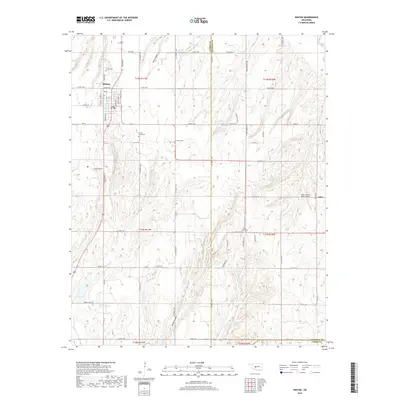
2018 Map of Hinton
USGS Topo · Published 2018About this map
The town of Hinton serves as a primary hub in this Oklahoma landscape, situated where the high plains begin to break into the deep drainages of Fisher Canyon and Devils Canyon. The map reveals a highly managed watershed system characterized by numerous small impoundments such as Fay Abbott Reservoir, Zobisch Lake, and the Sugar Creek 210 Reservoir. These water features are essential to the agricultural life of the Caddo and Canadian County line, providing necessary storage in a region defined by seasonal creek flows like Sugar Creek and Buggy Creek.
Find a feature on this map
72 named features on this map. Tap any name to fly to it.
Don’t see what you’re looking for? This feature index may not catch every label — zoom into the map to look around manually.
Map Details
Editions of this 2018 Hinton Map
This is the sole edition of this map. No revisions or reprints were ever made.
Other maps of this area

1893 · Fort Reno
USGS Topo · 1:62,500

1893 · Buggy Creek
USGS Topo · 1:62,500

1941 · Fort Reno
USGS Topo · 1:62,500

1942 · Fort Reno
USGS Topo · 1:62,500

1942 · Geary
USGS Topo · 1:62,500

1949 · Fort Reno
USGS Topo · 1:62,500

1951 · Binger
USGS Topo · 1:62,500

1955 · Clinton
USGS Topo · 1:250,000

1957 · Clinton
USGS Topo · 1:250,000

1967 · Fort Reno SW
USGS Topo · 1:24,000