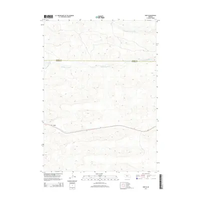
2014 Map of Hire SE
USGS Topo · Published 2014About this map
The settlement of Weir anchors the southern portion of this landscape, situated along the corridor of Ne-2 as it traverses the Sandhills of western Nebraska. This 2014 survey captures a sparsely populated region where the water network defines the terrain, particularly the Middle Br Middle Loup River and the S Br Middle Loup River. These rivers wind through complex dune formations, marking the headwaters of the Loup system. The map also delineates the jurisdictional boundary of Cherry Co Hooker Co, showing the vast, open character of the high plains before any significant modern development. The intricate contour lines illustrate the unique topography of the Nebraska Sandhills, providing a clear record of the area's natural hydrology and early 21st-century road infrastructure.
Find a feature on this map
5 named features on this map. Tap any name to fly to it.
Don’t see what you’re looking for? This feature index may not catch every label — zoom into the map to look around manually.
Map Details
Editions of this 2014 Hire SE Map
This is the sole edition of this map. No revisions or reprints were ever made.
Other maps of this area

1947 · Dismal River Ranch
USGS Topo · 1:62,500

1948 · Carr Lake
USGS Topo · 1:62,500

1948 · Mullen
USGS Topo · 1:62,500

1949 · Dismal River Ranch
USGS Topo · 1:62,500

1950 · Carr Lake
USGS Topo · 1:62,500

1950 · Hire
USGS Topo · 1:62,500

1951 · Mullen
USGS Topo · 1:62,500

1954 · North Platte
USGS Topo · 1:250,000

1956 · North Platte
USGS Topo · 1:250,000

1957 · North Platte
USGS Topo · 1:250,000