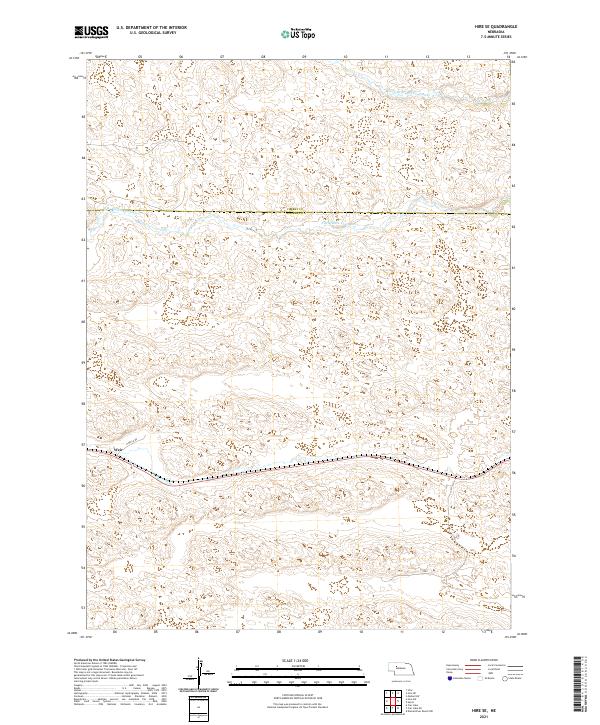
2021 Map of Hire SE
USGS Topo · Published 2021About this map
The braided waters of the S Br Middle Loup River and Middle Br Middle Loup River dominate this segment of the Nebraska Sandhills. Located along the border of Cherry and Hooker counties, this landscape is defined by its subtle topographic undulations and the small settlement of Weir. The drainage patterns here reveal the unique hydrology of the Loup River system, where the shallow river branches navigate through the sandy basin. Transport in this rural expanse is anchored by N Hecla Rd, which provides the primary access through the southern portion of the quadrangle, connecting the remote ranching country to the wider region.
Find a feature on this map
11 named features on this map. Tap any name to fly to it.
Don’t see what you’re looking for? This feature index may not catch every label — zoom into the map to look around manually.
Map Details
Editions of this 2021 Hire SE Map
This is the sole edition of this map. No revisions or reprints were ever made.
Other maps of this area

1947 · Dismal River Ranch
USGS Topo · 1:62,500

1948 · Carr Lake
USGS Topo · 1:62,500

1948 · Mullen
USGS Topo · 1:62,500

1949 · Dismal River Ranch
USGS Topo · 1:62,500

1950 · Carr Lake
USGS Topo · 1:62,500

1950 · Hire
USGS Topo · 1:62,500

1951 · Mullen
USGS Topo · 1:62,500

1954 · North Platte
USGS Topo · 1:250,000

1956 · North Platte
USGS Topo · 1:250,000

1957 · North Platte
USGS Topo · 1:250,000