
1944 Map of Hobbs
USGS Topo · Published 1944About this map
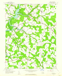
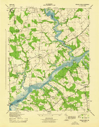
Choptank River and Tuckahoe Creek define the landscape of this mid-century Caroline County survey, where agricultural commerce relied on land and water networks. Several small inland communities like American Corners and Concord are shown connected by the Concord Bridgeville Road and other rural routes. The presence of Old RR Grade near Hobbs suggests a transitioning economy as former rail infrastructure was already being bypassed.
Find a feature on this map
37 named features on this map. Tap any name to fly to it.
Don’t see what you’re looking for? This feature index may not catch every label — zoom into the map to look around manually.
Map Details
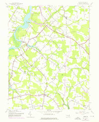
Editions of this 1944 Hobbs Map
3 editions found
Other maps of this area

1905 · Denton
USGS Topo · 1:62,500

1905 · Hurlock
USGS Topo · 1:62,500

1915 · Seaford
USGS Topo · 1:62,500

1918 · Harrington
USGS Topo · 1:62,500

1944 · Denton
USGS Topo · 1:31,680
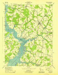
1944 · Preston
USGS Topo · 1:31,680

1944 · Federalsburg
USGS Topo · 1:31,680
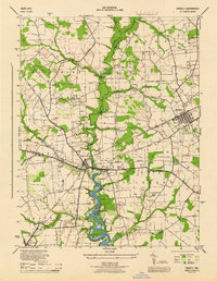
1944 · Ridgely
USGS Topo · 1:31,680

1944 · Seaford
USGS Topo · 1:62,500
1944 · Fowling Creek
USGS Topo · 1:31,680