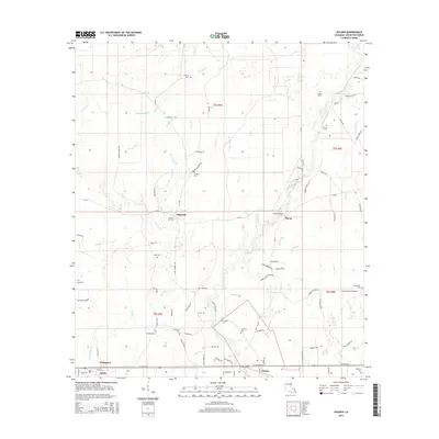
2015 Map of Holden
USGS Topo · Published 2015About this map
The Tickfaw River snakes through this portion of Livingston Parish, defining the drainage patterns of numerous tributaries like Crooked John Br and Bear Cr. This 2015 survey reveals a landscape deeply connected to its local history and family lineages, evidenced by the high density of small cemeteries scattered across the townships. Settlements such as Magnolia and Starns serve as local hubs, while Livingston and Doyle occupy the southern corridor along Florida Blvd. Genealogical researchers will find a wealth of named landmarks, including Stafford Cem, Causey Cem, and Mack Cem. The map illustrates the transition from the structured street grid of the larger towns to the rural networks of named routes like Sidney Woods Rd and Hinson Rd. In the eastern section, Starns Bridge remains a key crossing point, reflecting the historic reliance on the river as both a barrier and a resource.
Find a feature on this map
99 named features on this map. Tap any name to fly to it.
Don’t see what you’re looking for? This feature index may not catch every label — zoom into the map to look around manually.
Map Details
Editions of this 2015 Holden Map
This is the sole edition of this map. No revisions or reprints were ever made.
Other maps of this area

1934 · Denham Springs
USGS Topo · 1:62,500

1934 · Springfield
USGS Topo · 1:62,500

1939 · Springfield
USGS Topo · 1:62,500

1939 · Denham Springs
USGS Topo · 1:62,500

1942 · Montpelier
USGS Topo · 1:31,680

1942 · Pine Grove
USGS Topo · 1:31,680

1942 · Satsuma
USGS Topo · 1:31,680

1949 · Amite
USGS Topo · 1:31,680

1949 · Albany
USGS Topo · 1:31,680

1950 · Doyle
USGS Topo · 1:31,680