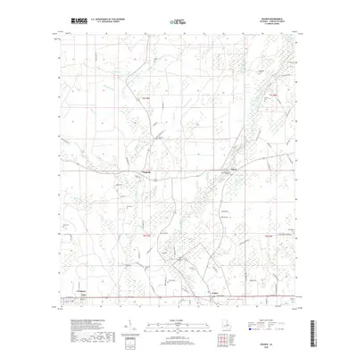
2018 Map of Holden
USGS Topo · Published 2018About this map
The Tickfaw River carves a winding path through the center of this Livingston Parish landscape, where the settlements of Holden and Livingston anchor the southern corridor along Florida Blvd. This region is defined by a dense network of small waterways and family-named landmarks, reflecting a deep-rooted rural heritage. Numerous creek branches, such as Crooked John Br, W Hog Br, and Cutrer Br, drain into the primary river system, shaping the development patterns around Magnolia and Doyle.
Find a feature on this map
84 named features on this map. Tap any name to fly to it.
Don’t see what you’re looking for? This feature index may not catch every label — zoom into the map to look around manually.
Map Details
Editions of this 2018 Holden Map
This is the sole edition of this map. No revisions or reprints were ever made.
Other maps of this area

1934 · Denham Springs
USGS Topo · 1:62,500

1934 · Springfield
USGS Topo · 1:62,500

1939 · Springfield
USGS Topo · 1:62,500

1939 · Denham Springs
USGS Topo · 1:62,500

1942 · Montpelier
USGS Topo · 1:31,680

1942 · Pine Grove
USGS Topo · 1:31,680

1942 · Satsuma
USGS Topo · 1:31,680

1949 · Amite
USGS Topo · 1:31,680

1949 · Albany
USGS Topo · 1:31,680

1950 · Doyle
USGS Topo · 1:31,680