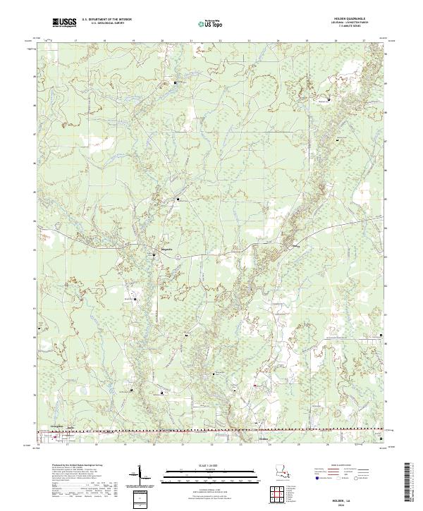
2024 Map of Holden
USGS Topo · Published 2024About this map
The Tickfaw River meanders through the central corridor of Livingston Parish, defining a landscape shaped by numerous small tributaries such as Bear Creek and Mayhaw Branch. Along the southern edge, the communities of Livingston, Doyle, and Holden follow the corridor of Florida Blvd, where the parish seat and local commerce are concentrated. The interior of the quadrangle is notably rural, characterized by a network of local roads like La 1036 and La 441 that connect scattered settlements like Magnolia and Starns.
Find a feature on this map
98 named features on this map. Tap any name to fly to it.
Don’t see what you’re looking for? This feature index may not catch every label — zoom into the map to look around manually.
Map Details
Editions of this 2024 Holden Map
This is the sole edition of this map. No revisions or reprints were ever made.
Other maps of this area

1934 · Denham Springs
USGS Topo · 1:62,500

1934 · Springfield
USGS Topo · 1:62,500

1939 · Springfield
USGS Topo · 1:62,500

1939 · Denham Springs
USGS Topo · 1:62,500

1942 · Montpelier
USGS Topo · 1:31,680

1942 · Pine Grove
USGS Topo · 1:31,680

1942 · Satsuma
USGS Topo · 1:31,680

1949 · Amite
USGS Topo · 1:31,680

1949 · Albany
USGS Topo · 1:31,680

1950 · Doyle
USGS Topo · 1:31,680