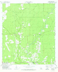
1974 Map of Holden
USGS Topo · Published 1978About this map
The Illinois Central Gulf railroad anchors the southern corridor of this mid-1970s Livingston Parish landscape, connecting the small communities of Livingston and Holden. The terrain is defined by an intricate network of waterways, including the Tickfaw River and its numerous tributaries such as Hog Branch and Turkey Creek. This survey provides a meticulous record of rural settlement patterns, marked by a high density of family-named cemeteries and country churches. Genealogists will find significant value in the location of burial sites like Stafford Cem, Causey Cem, and Courtney Cem, which are scattered throughout the wooded drainage basins. The presence of an Old RR Grade north of Magnolia suggests earlier logging or transit routes that had already begun to fade from the landscape by the time of this field check.
Find a feature on this map
51 named features on this map. Tap any name to fly to it.
Don’t see what you’re looking for? This feature index may not catch every label — zoom into the map to look around manually.
Map Details
Editions of this 1974 Holden Map
This is the sole edition of this map. No revisions or reprints were ever made.
Other maps of this area

1934 · Denham Springs
USGS Topo · 1:62,500

1934 · Springfield
USGS Topo · 1:62,500

1939 · Springfield
USGS Topo · 1:62,500

1939 · Denham Springs
USGS Topo · 1:62,500

1942 · Montpelier
USGS Topo · 1:31,680

1942 · Pine Grove
USGS Topo · 1:31,680

1942 · Satsuma
USGS Topo · 1:31,680

1949 · Amite
USGS Topo · 1:31,680

1949 · Albany
USGS Topo · 1:31,680

1950 · Doyle
USGS Topo · 1:31,680