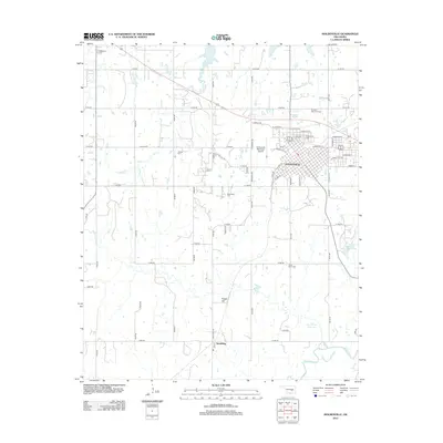
2012 Map of Holdenville
USGS Topo · Published 2012About this map
Holdenville serves as the primary hub of this landscape, its grid of streets branching out from a dense core that includes residential neighborhoods and the Holdenville Municipal Airport. The surrounding terrain is defined by the winding course of Bird Creek and the Little River, while several water bodies like the Holdenville Waterworks Lake and Lynn Peters Reservoir punctuate the rural expanses. The settlement patterns here are deeply rooted in local history, evidenced by a high density of burial grounds including the Buchner Memorial Cem, Shawnego Cem, and Jacobs Cem. South of the main town, the small community of Spaulding sits near the foot of Potato Hill, illustrating the dispersed nature of Oklahoma's small-town geography. A complex network of section roads connects these scattered landmarks, tracing the agricultural and residential development of the early 21st century.
Find a feature on this map
61 named features on this map. Tap any name to fly to it.
Don’t see what you’re looking for? This feature index may not catch every label — zoom into the map to look around manually.
Map Details
Editions of this 2012 Holdenville Map
This is the sole edition of this map. No revisions or reprints were ever made.
Other maps of this area

1896 · Seminole and Prague
USGS Topo · 1:125,000

1896 · Coalgate
USGS Topo · 1:125,000

1899 · Coalgate
USGS Topo · 1:125,000

1900 · Wewoka
USGS Topo · 1:125,000

1900 · Coalgate
USGS Topo · 1:125,000

1901 · Stonewall
USGS Topo · 1:125,000

1954 · Oklahoma City
USGS Topo · 1:250,000

1957 · Ardmore
USGS Topo · 1:250,000

1957 · Oklahoma City
USGS Topo · 1:250,000

1958 · Sasakwa
USGS Topo · 1:24,000