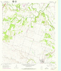
1964 Map of Holland
USGS Topo · Published 1979About this map
Holland anchors the southern portion of this Central Texas landscape, where the Missouri Kansas Texas railroad cuts through the terrain. The map details a transition from the agricultural uplands of Bell Plains to the river bottoms where the Lampasas River, Salado Creek, and Little River converge. This drainage network defines the local geography, supporting small rural clusters and early industry like Sommers Mill.
Find a feature on this map
29 named features on this map. Tap any name to fly to it.
Don’t see what you’re looking for? This feature index may not catch every label — zoom into the map to look around manually.
Map Details
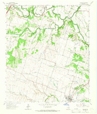
Editions of this 1964 Holland Map
2 editions found
Other maps of this area

1885 · Taylor
USGS Topo · 1:125,000

1887 · Taylor
USGS Topo · 1:125,000

1892 · Temple
USGS Topo · 1:125,000

1893 · Georgetown
USGS Topo · 1:125,000

1894 · Gatesville
USGS Topo · 1:125,000

1894 · Taylor
USGS Topo · 1:125,000

1924 · Gatesville 4-d
USGS Topo · 1:48,000

1924 · Temple 3-C
USGS Topo · 1:48,000

1930 · Killeen
USGS Topo · 1:62,500

1931 · Belton
USGS Topo · 1:62,500