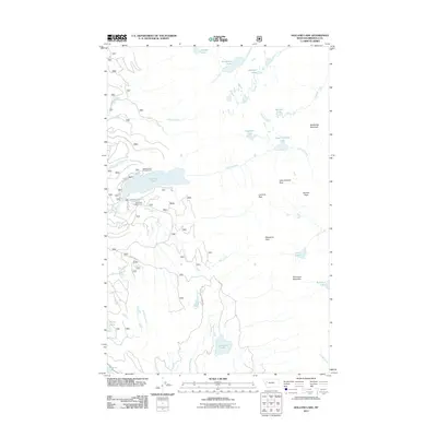
2011 Map of Holland Lake
USGS Topo · Published 2011About this map
Holland Lake serves as a central hub for this high-altitude landscape in Missoula County, where the transition from recreation to wilderness is marked by the presence of Holland Lake Campground and the Owl Creek Packer Camp. The survey details a network of water bodies and dramatic peaks, including Upper Holland Lake and Ptarmigan Mountain, suggesting a terrain shaped by heavy glaciation and seasonal snowmelt.
Find a feature on this map
33 named features on this map. Tap any name to fly to it.
Don’t see what you’re looking for? This feature index may not catch every label — zoom into the map to look around manually.
Map Details
Editions of this 2011 Holland Lake Map
This is the sole edition of this map. No revisions or reprints were ever made.
Other maps of this area

1902 · Ovando
USGS Topo · 1:125,000

1905 · Ovando
USGS Topo · 1:125,000

1921 · Elbow Lake
USGS Topo · 1:125,000

1936 · Silvertip
USGS Topo · 1:96,000

1942 · Silvertip
USGS Topo · 1:125,000

1955 · Choteau
USGS Topo · 1:250,000

1957 · Choteau
USGS Topo · 1:250,000

1958 · Choteau
USGS Topo · 1:250,000

1962 · Choteau
USGS Topo · 1:250,000

1965 · Condon
USGS Topo · 1:24,000