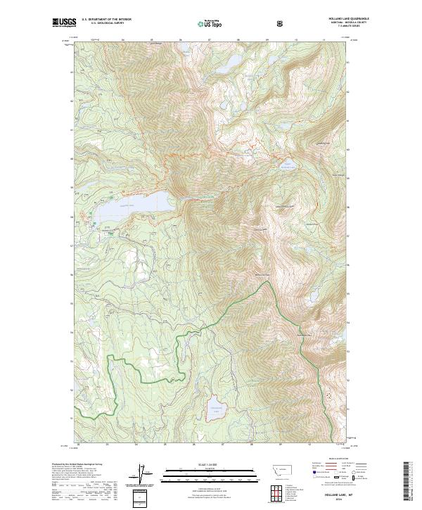
2024 Map of Holland Lake
USGS Topo · Published 2024About this map
The Swan Range forms a towering natural spine through this landscape, marking the intersection of three major protected areas: the Bob Marshall Wilderness, Flathead National Forest, and Lolo National Forest. The topography is defined by high-elevation glaciation, evidenced by the clustered Necklace Lakes and Pendant Lake tucked below rugged summits like Waldbillig Mtn.
Find a feature on this map
64 named features on this map. Tap any name to fly to it.
Don’t see what you’re looking for? This feature index may not catch every label — zoom into the map to look around manually.
Map Details
Editions of this 2024 Holland Lake Map
This is the sole edition of this map. No revisions or reprints were ever made.
Other maps of this area

1902 · Ovando
USGS Topo · 1:125,000

1905 · Ovando
USGS Topo · 1:125,000

1921 · Elbow Lake
USGS Topo · 1:125,000

1936 · Silvertip
USGS Topo · 1:96,000

1942 · Silvertip
USGS Topo · 1:125,000

1955 · Choteau
USGS Topo · 1:250,000

1957 · Choteau
USGS Topo · 1:250,000

1958 · Choteau
USGS Topo · 1:250,000

1962 · Choteau
USGS Topo · 1:250,000

1965 · Condon
USGS Topo · 1:24,000