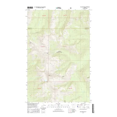
2017 Map of Holland Peak
USGS Topo · Published 2017About this map
Holland Peak dominates this high-elevation landscape within the Flathead National Forest, marking a prominent point in the Swan Range. The terrain is characterized by steep glacial cirques and basins, most notably the Albino Basin and the headwaters of numerous mountain streams. This 2017 survey details a wilderness environment where the Missoula and Flathead county lines meet amidst a network of drainage systems. Little Salmon Cr and Big Salmon Cr carve through the deep valleys, with Big Salmon Falls serving as a significant hydrological landmark. The map illustrates the complex topography surrounding Cooney Mtn and Gyp Mtn, providing a precise look at the trail-less summits and ridges such as Tango Point that define this portion of the Northern Rockies.
Find a feature on this map
24 named features on this map. Tap any name to fly to it.
Don’t see what you’re looking for? This feature index may not catch every label — zoom into the map to look around manually.
Map Details
Editions of this 2017 Holland Peak Map
This is the sole edition of this map. No revisions or reprints were ever made.
Other maps of this area

1902 · Ovando
USGS Topo · 1:125,000

1905 · Ovando
USGS Topo · 1:125,000

1921 · Elbow Lake
USGS Topo · 1:125,000

1936 · Silvertip
USGS Topo · 1:96,000

1942 · Silvertip
USGS Topo · 1:125,000

1955 · Choteau
USGS Topo · 1:250,000

1957 · Choteau
USGS Topo · 1:250,000

1958 · Choteau
USGS Topo · 1:250,000

1962 · Choteau
USGS Topo · 1:250,000

1965 · Condon
USGS Topo · 1:24,000