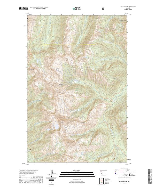
2024 Map of Holland Peak
USGS Topo · Published 2024About this map
Holland Peak stands as the literal and metaphorical centerpiece of this high-elevation mountain landscape, where the Flathead National Forest meets the Bob Marshall Wilderness. This area is defined by its complex hydrology and verticality, featuring a network of glacial lakes including Rumble Cr Lake, Sappho Lake, and the Terrace Lakes. Down slope, the settlement of Condon provides a human anchor in the valley, though the majority of the terrain is accessible only via established wilderness routes.
Find a feature on this map
40 named features on this map. Tap any name to fly to it.
Don’t see what you’re looking for? This feature index may not catch every label — zoom into the map to look around manually.
Map Details
Editions of this 2024 Holland Peak Map
This is the sole edition of this map. No revisions or reprints were ever made.
Other maps of this area

1902 · Ovando
USGS Topo · 1:125,000

1905 · Ovando
USGS Topo · 1:125,000

1921 · Elbow Lake
USGS Topo · 1:125,000

1936 · Silvertip
USGS Topo · 1:96,000

1942 · Silvertip
USGS Topo · 1:125,000

1955 · Choteau
USGS Topo · 1:250,000

1957 · Choteau
USGS Topo · 1:250,000

1958 · Choteau
USGS Topo · 1:250,000

1962 · Choteau
USGS Topo · 1:250,000

1965 · Condon
USGS Topo · 1:24,000