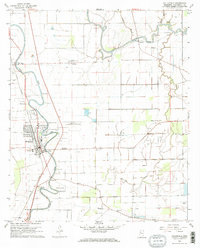
1968 Map of Hollandale
USGS Topo · Published 1969About this map
Deer Creek and the Bogue Phalia wind through this fertile Mississippi Delta landscape, defining the settlement patterns of Washington County during the late 1960s. The town of Hollandale serves as the central hub, situated where the Illinois Central railroad corridor meets the water. The map documents a dense network of local landmarks essential for genealogical research, including the Simmons Sch and several family or community burial grounds such as Magruder Cem, Bellamy Cem, and Huddleston Cem. Beyond the town limits, smaller communities like Estill, Empire, and Darlove are visible alongside specialized land uses, including a Fish Farm and the Hollandale Municipal Airport. Several Indian Mound sites are noted near the bayous, providing a glimpse into the ancient indigenous history that underlies the modern agricultural grid.
Find a feature on this map
43 named features on this map. Tap any name to fly to it.
Don’t see what you’re looking for? This feature index may not catch every label — zoom into the map to look around manually.
Map Details
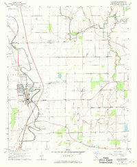
Editions of this 1968 Hollandale Map
2 editions found
Other maps of this area

1939 · Tralake
USGS Topo · 1:62,500

1939 · Swan Lake
USGS Topo · 1:62,500

1940 · Auter
USGS Topo · 1:62,500

1940 · Baird
USGS Topo · 1:62,500

1953 · Greenwood
USGS Topo · 1:250,000

1956 · Greenwood
USGS Topo · 1:250,000
1965 · Richey
USGS Topo · 1:24,000

1965 · Kinlock
USGS Topo · 1:24,000
1965 · Midnight NW
USGS Topo · 1:24,000

1967 · Baird
USGS Topo · 1:62,500