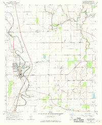
1968 Map of Hollandale
USGS Topo · Published 1970About this map
The agricultural landscape of Washington County is defined by the winding paths of Deer Creek and Bogue Phalia, which dictate the placement of early settlements and transportation routes. The Illinois Central railroad corridor serves as the primary spine for the town of Hollandale, where concentrated development includes the Simmons Sch and several churches like Immaculate Conception Ch. Outside the town center, smaller communities and plantation hubs such as Estill, Empire, and Darlove are visible, often centered around a church or cemetery.
Find a feature on this map
44 named features on this map. Tap any name to fly to it.
Don’t see what you’re looking for? This feature index may not catch every label — zoom into the map to look around manually.
Map Details
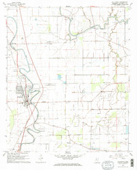
Editions of this 1968 Hollandale Map
2 editions found
Other maps of this area

1939 · Tralake
USGS Topo · 1:62,500

1939 · Swan Lake
USGS Topo · 1:62,500

1940 · Auter
USGS Topo · 1:62,500

1940 · Baird
USGS Topo · 1:62,500

1953 · Greenwood
USGS Topo · 1:250,000

1956 · Greenwood
USGS Topo · 1:250,000
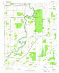
1965 · Richey
USGS Topo · 1:24,000

1965 · Kinlock
USGS Topo · 1:24,000
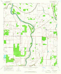
1965 · Midnight NW
USGS Topo · 1:24,000

1967 · Baird
USGS Topo · 1:62,500